Channel & Berth Profile
Pilotage, Tugs & Services
Pilotage compulsoryYES
Tug assistanceNO
Salvage tugsNO
Potable waterYES
Diesel bunkersYES
Facilities & Capabilities
Container—
Ro-Ro—
Liquid bulk—
Dry bulk—
Oil terminal—
Break bulk—
Dry dock—
Repairs—
Bunkering—
Rail link—
Dangerous cargo—
ISPS security—
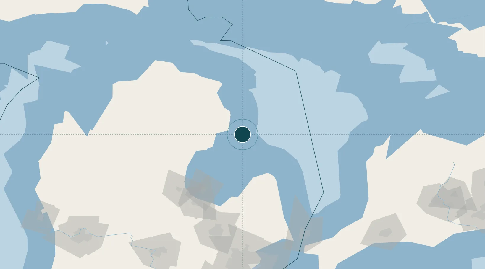
Harbour Specifications
Harbour size
Very Small
Harbour type
River (Natural)
Shelter
Excellent
Water body
Lake Huron; Great Lakes
Overhead limit
Yes
Pilotage
Yes
Location
Nearby Logistics Neighbours
Ports
- 1Tawas City22 km
- 2Alabaster32 km
- 3Alpena73 km
- 4Harbor Beach83 km
- 5Bay City101 km
Cities
- 1Tawas City22 km
- 2Ossineke55 km
- 3Lupton56 km
- 4Sterling62 km
- 5Standish71 km
Airports
- 1Alpena County Regional Airport76 km
- 2MBS International Airport116 km
- 3Kincardine Municipal Airport138 km
- 4Goderich Airport147 km
- 5Bishop International Airport165 km
Trade Zones
- 1FTZ No. 140 Flint160 km
- 2FTZ No. 284 Genesee County166 km
- 3FTZ No. 210 St. Clair County187 km
- 4FTZ No. 101 Clinton County200 km
- 5FTZ No. 070 Detroit230 km
DatabookThe Record of Consolidated Knowledge
United States beyond logistics?