Channel & Berth Profile
Pilotage, Tugs & Services
Pilotage compulsoryYES
Tug assistanceNO
Salvage tugsNO
MedicalYES
Facilities & Capabilities
Container—
Ro-Ro—
Liquid bulk—
Dry bulk—
Oil terminal—
Break bulk—
Dry dock—
Repairs—
Bunkering—
Rail link—
Dangerous cargo—
ISPS security—
Harbour Specifications
Harbour size
Very Small
Harbour type
Coastal (Breakwater)
Shelter
Good
Water body
Lake Huron; Great Lakes
Overhead limit
Yes
Pilotage
Yes
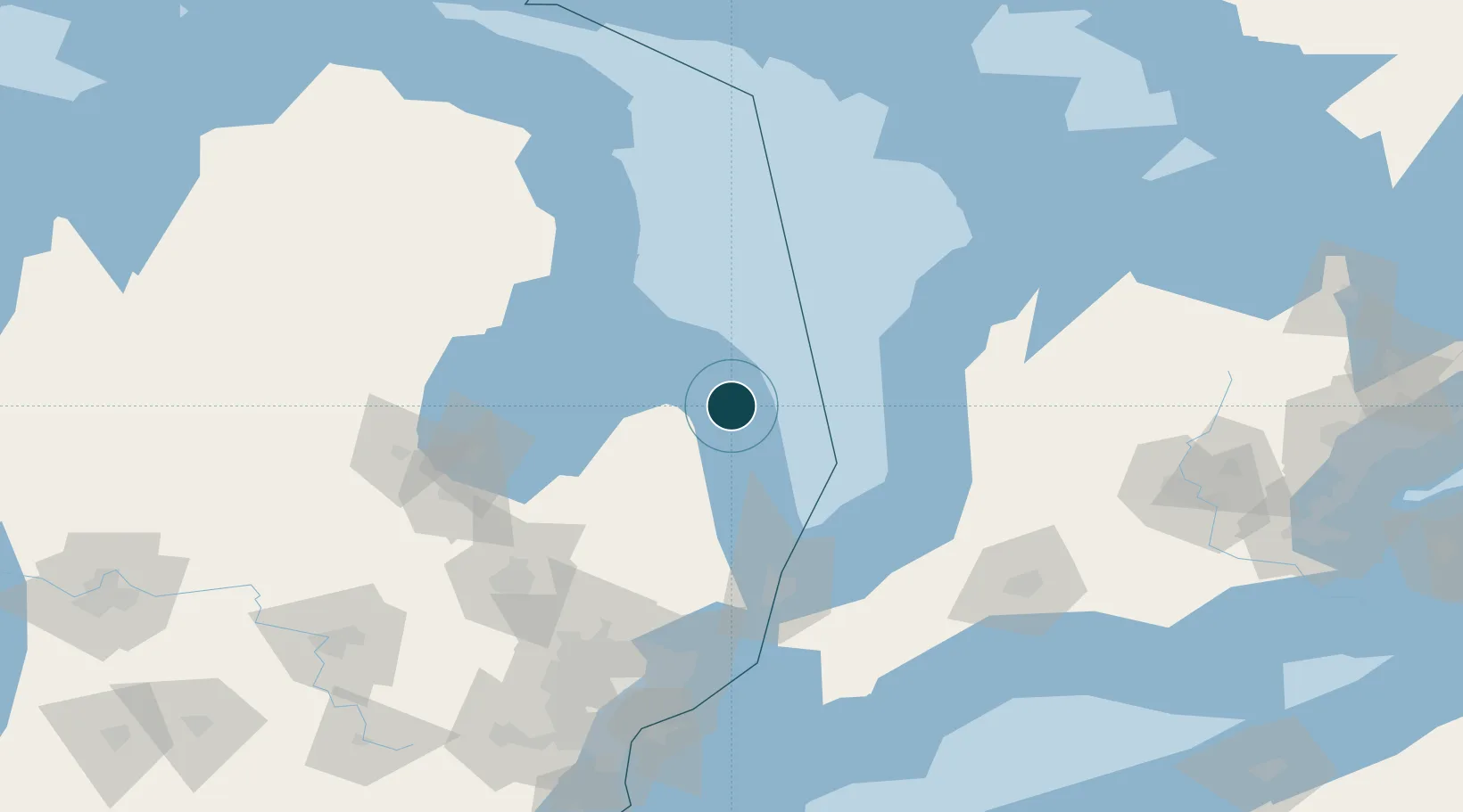
Location
Nearby Logistics Neighbours
Ports
- 1Goderich74 km
- 2Alabaster81 km
- 3Tawas City82 km
- 4Oscoda83 km
- 5Port Huron96 km
Cities
- 1Cass City50 km
- 2Caro73 km
- 3Amberly78 km
- 4Tawas City82 km
- 5Yale82 km
Airports
Trade Zones
- 1FTZ No. 210 St. Clair County114 km
- 2FTZ No. 140 Flint130 km
- 3FTZ No. 284 Genesee County143 km
- 4Windsor - Essex Foreign Trade Zone173 km
- 5FTZ No. 070 Detroit173 km
DatabookThe Record of Consolidated Knowledge
United States beyond logistics?