UN/LOCODE hub · United States
USTWY
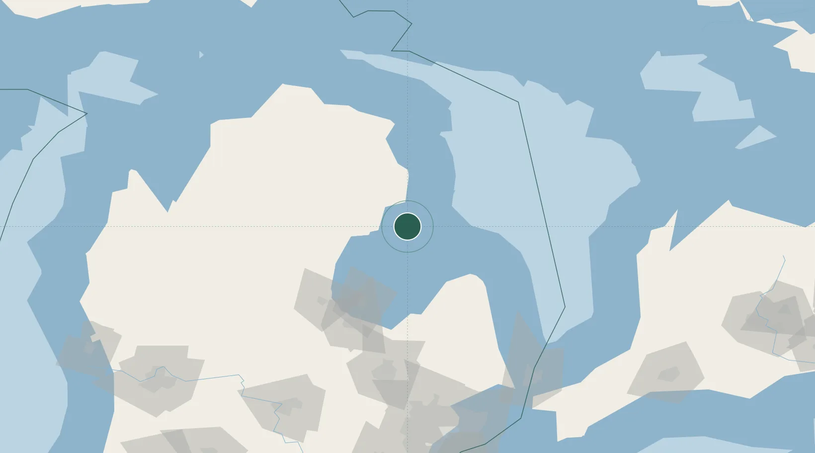
Tawas City
44.2667°, -83.5000°
1,786
Population
2
Transport functions
Transport Functions
Road
Multimodal
Hub Profile
Place type
Provincial seat
Region
Michigan
Population
1,786
Time zone
America/Detroit
Elevation
180 m
Location
Nearby Logistics Neighbours
Ports
- 1Alabaster10 km
- 2Oscoda22 km
- 3Bay City80 km
- 4Harbor Beach82 km
- 5Alpena89 km
Airports
- 1Alpena County Regional Airport90 km
- 2MBS International Airport94 km
- 3Bishop International Airport146 km
- 4Kincardine Municipal Airport151 km
- 5Goderich Airport154 km
Trade Zones
- 1FTZ No. 140 Flint141 km
- 2FTZ No. 284 Genesee County146 km
- 3FTZ No. 210 St. Clair County178 km
- 4FTZ No. 101 Clinton County178 km
- 5FTZ No. 070 Detroit214 km
DatabookThe Record of Consolidated Knowledge
United States beyond logistics?