Transport Functions
Multimodal
Hub Profile
Place type
Populated place
Region
Michigan
Time zone
America/Detroit
Elevation
250 m
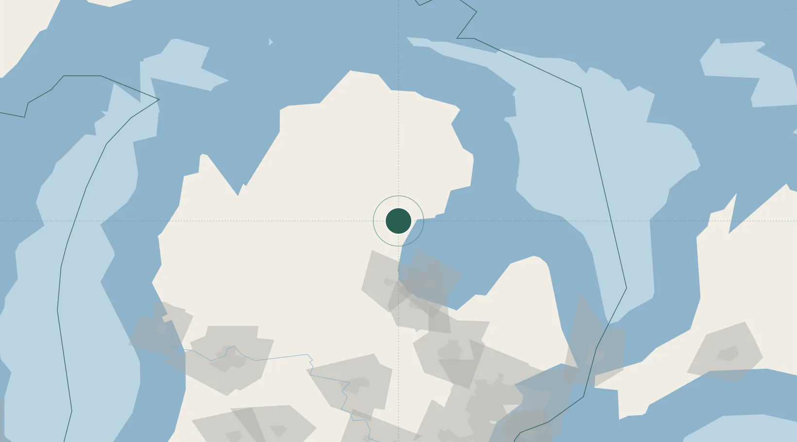
Location
Nearby Logistics Neighbours
Ports
- 1Alabaster48 km
- 2Tawas City53 km
- 3Bay City67 km
- 4Oscoda72 km
- 5Saginaw83 km
Airports
- 1MBS International Airport71 km
- 2Alpena County Regional Airport112 km
- 3Cherry Capital Airport130 km
- 4Bishop International Airport137 km
- 5Charlevoix Municipal Airport155 km
Trade Zones
- 1FTZ No. 284 Genesee County130 km
- 2FTZ No. 140 Flint132 km
- 3FTZ No. 101 Clinton County144 km
- 4FTZ No. 210 St. Clair County198 km
- 5FTZ No. 189 Kent Ottawa/Muskegon Counties201 km
DatabookThe Record of Consolidated Knowledge
United States beyond logistics?