Foreign Trade Zone · United States

FTZ No. 070 Detroit Active
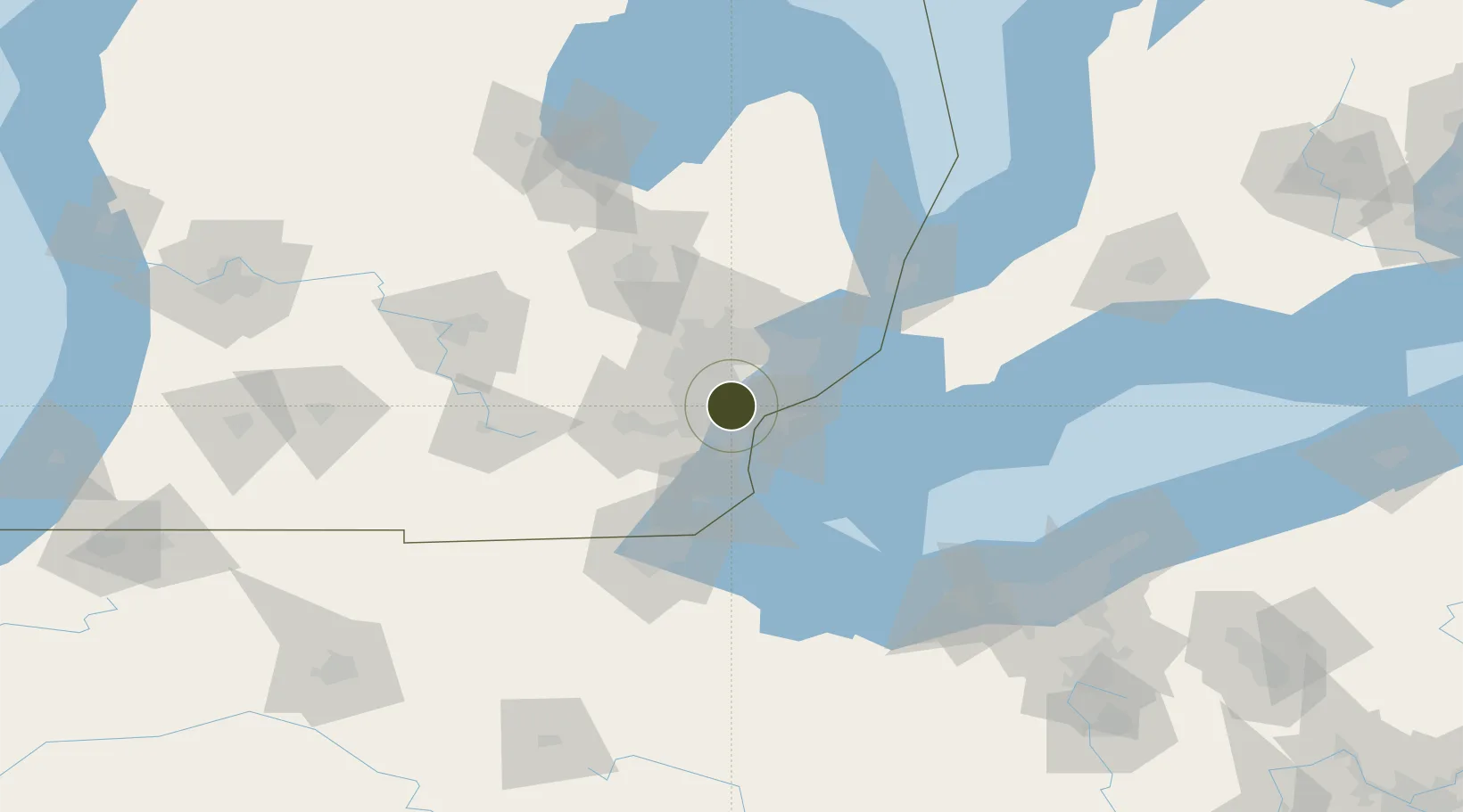
42.3526°, -83.2393°
17.1 km
Nearest port
18.1 km
Nearest airport

Gateway access

Nearest neighbours — logibook spatial index (haversine) over the source coordinates

Zone profile

Zone type
Foreign Trade Zone
Open Zone Map
Region
Michigan
Open Zone Map
Status
Active
Open Zone Map
Management
Public-Private Partnership
Open Zone Map
Operator
Greater Detroit Foreign-Trade Zone, Inc.
Open Zone Map
Legal framework
Foreign-Trade Zones Act
Open Zone Map

Location

Location of ozm-4898
Natural Earth 10m (public domain) · Michigan · ozm-4898 · 42.35, -83.24GoogleOSMYandex

Nearby Logistics Neighbours

Ports
  1. 1Detroit17 km
  2. 2Windsor17 km
  3. 3Wyandotte19 km
  4. 4Trenton25 km
  5. 5Amherstburg30 km
Nearest neighbours — logibook spatial index (haversine) over the source coordinates
Airports
  1. 1Detroit Metropolitan Wayne County Airport18 km
  2. 2Coleman A. Young Municipal Airport20 km
  3. 3Windsor International Airport25 km
  4. 4Willow Run Airport27 km
  5. 5Oakland County International Airport38 km
Nearest neighbours — logibook spatial index (haversine) over the source coordinates
Cities
  1. 1Detroit5 km
  2. 2Dearborn Heights6 km
  3. 3Melvindale11 km
  4. 4Huntington Woods14 km
  5. 5Hazel Park17 km
Nearest neighbours — logibook spatial index (haversine) over the source coordinates
Trade Zones
  1. 1Windsor - Essex Foreign Trade Zone18 km
  2. 2FTZ No. 210 St. Clair County79 km
  3. 3FTZ No. 008 Toledo81 km
  4. 4FTZ No. 140 Flint85 km
  5. 5FTZ No. 284 Genesee County94 km
Nearest neighbours — logibook spatial index (haversine) over the source coordinates
DatabookThe Record of Consolidated Knowledge
United States beyond logistics?
Browse databook

All Sources

Trade ZonesOpen Zone Map
CC BY
Portsthe NGA World Port Index
Public domain (US gov)
AirportsOurAirports
Public domain
LocationsUN/LOCODE
UN/LOCODE — free
← United States trade zones