Channel & Berth Profile
Pilotage, Tugs & Services
Pilotage compulsoryYES
Tug assistanceNO
Salvage tugsNO
Potable waterYES
Diesel bunkersYES
Facilities & Capabilities
Container—
Ro-Ro—
Liquid bulk—
Dry bulk—
Oil terminal—
Break bulk—
Dry dock—
RepairsNO
Bunkering—
Rail link—
Dangerous cargo—
ISPS security—
Harbour Specifications
Harbour size
Very Small
Harbour type
Open Roadstead
Shelter
Poor
Water body
Lake Huron; Great Lakes
Overhead limit
Yes
Pilotage
Yes
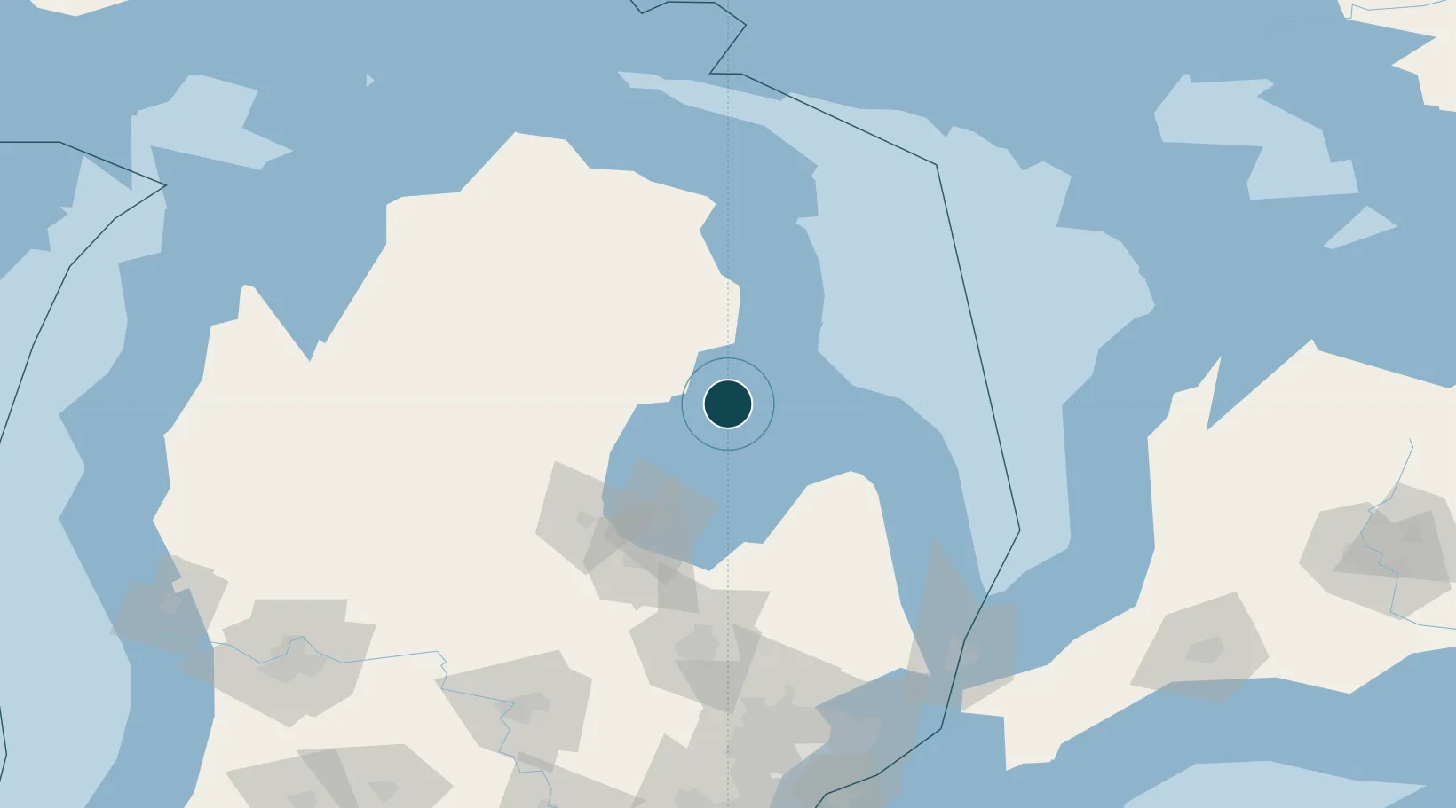
Location
Nearby Logistics Neighbours
Ports
- 1Tawas City10 km
- 2Oscoda32 km
- 3Bay City70 km
- 4Harbor Beach81 km
- 5Saginaw89 km
Cities
- 1Tawas City10 km
- 2Sterling35 km
- 3Standish40 km
- 4Lupton45 km
- 5Alger46 km
Airports
- 1MBS International Airport84 km
- 2Alpena County Regional Airport100 km
- 3Bishop International Airport136 km
- 4Goderich Airport154 km
- 5Kincardine Municipal Airport155 km
Trade Zones
- 1FTZ No. 140 Flint131 km
- 2FTZ No. 284 Genesee County136 km
- 3FTZ No. 101 Clinton County168 km
- 4FTZ No. 210 St. Clair County171 km
- 5FTZ No. 070 Detroit205 km
DatabookThe Record of Consolidated Knowledge
United States beyond logistics?