Channel & Berth Profile
Pilotage, Tugs & Services
Pilotage compulsoryYES
Tug assistanceYES
Salvage tugsNO
Shore powerYES
Potable waterYES
Diesel bunkersYES
MedicalYES
Facilities & Capabilities
Container—
Ro-Ro—
Liquid bulk—
Dry bulk—
Oil terminal—
Break bulk—
Dry dockNO
RepairsNO
BunkeringYES
Rail linkYES
Dangerous cargo—
ISPS security—
Harbour Specifications
Harbour size
Small
Harbour type
River (Natural)
Shelter
Excellent
Water body
Lake Huron; Great Lakes
Overhead limit
Yes
Pilotage
Yes
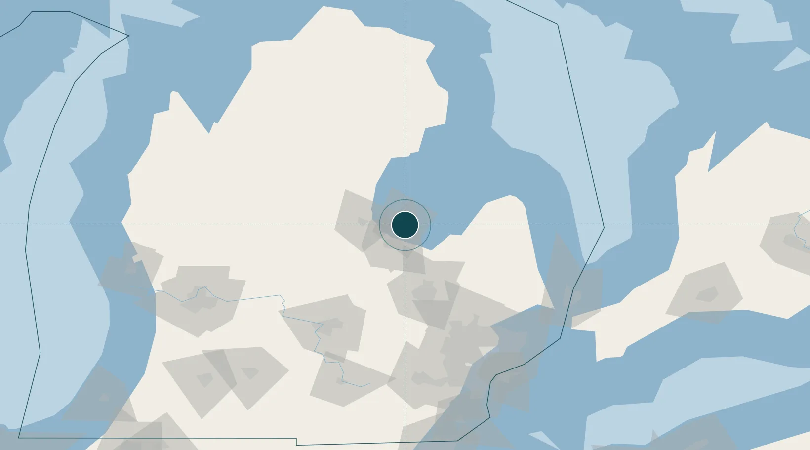
Location
Nearby Logistics Neighbours
Ports
- 1Saginaw19 km
- 2Alabaster70 km
- 3Tawas City80 km
- 4Oscoda101 km
- 5Harbor Beach102 km
Cities
- 1Kawkawlin8 km
- 2Linwood16 km
- 3Caro40 km
- 4Sanford41 km
- 5Saint Charles41 km
Airports
Trade Zones
- 1FTZ No. 140 Flint66 km
- 2FTZ No. 284 Genesee County67 km
- 3FTZ No. 101 Clinton County102 km
- 4FTZ No. 210 St. Clair County138 km
- 5FTZ No. 070 Detroit148 km
DatabookThe Record of Consolidated Knowledge
United States beyond logistics?