Channel & Berth Profile
Pilotage, Tugs & Services
Pilotage compulsoryYES
Tug assistanceYES
Shore powerYES
Potable waterYES
Diesel bunkersYES
MedicalYES
Garbage disposalYES
Facilities & Capabilities
Container—
Ro-Ro—
Liquid bulk—
Dry bulk—
Oil terminal—
Break bulk—
Dry dock—
RepairsNO
BunkeringYES
Rail linkYES
Dangerous cargo—
ISPS security—
Harbour Specifications
Harbour size
Small
Harbour type
River (Natural)
Shelter
Good
Water body
North Atlantic Ocean
Tidal range
2.4 m
Overhead limit
Yes
Pilotage
Yes
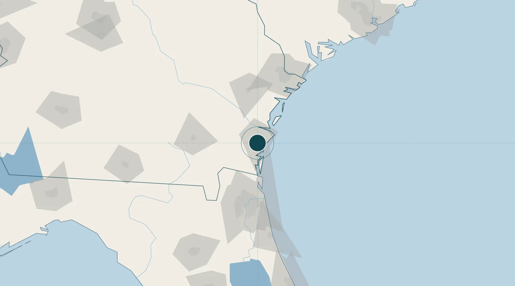
Location
Nearby Logistics Neighbours
Ports
- 1Darien25 km
- 2Fernandina Beach52 km
- 3Mayport84 km
- 4Jacksonville94 km
- 5Savannah111 km
Cities
- 1Sea Island15 km
- 2Kings Bay41 km
- 3Townsend43 km
- 4Kingsland44 km
- 5Nahunta45 km
Airports
Trade Zones
- 1FTZ No. 144 Brunswick0 km
- 2FTZ No. 064 Jacksonville100 km
- 3FTZ No. 104 Savannah112 km
- 4FTZ No. 021 Dorchester County227 km
- 5FTZ No. 198 Volusia County237 km
DatabookThe Record of Consolidated Knowledge
United States beyond logistics?