Channel & Berth Profile
Pilotage, Tugs & Services
Pilotage compulsoryNO
Tug assistanceNO
Salvage tugsNO
Potable waterYES
Diesel bunkersYES
MedicalYES
Facilities & Capabilities
Container—
Ro-Ro—
Liquid bulk—
Dry bulk—
Oil terminal—
Break bulk—
Dry dock—
RepairsNO
Bunkering—
Rail link—
Dangerous cargo—
ISPS security—
Harbour Specifications
Harbour size
Very Small
Harbour type
River (Natural)
Shelter
Good
Water body
North Atlantic Ocean
Tidal range
2.1 m
Overhead limit
Yes
Pilotage
No
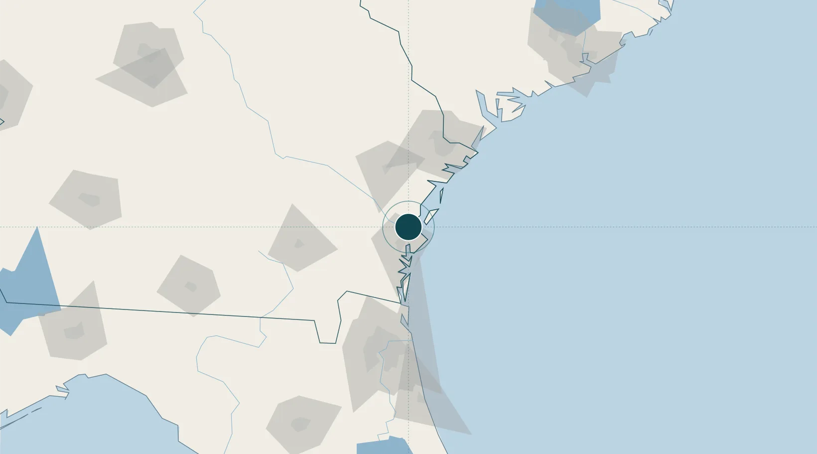
Location
Nearby Logistics Neighbours
Ports
- 1Brunswick25 km
- 2Fernandina Beach76 km
- 3Savannah86 km
- 4Mayport108 km
- 5Jacksonville119 km
Cities
- 1Townsend20 km
- 2Sea Island22 km
- 3Brunswick22 km
- 4McIntosh51 km
- 5Nahunta54 km
Airports
Trade Zones
- 1FTZ No. 144 Brunswick25 km
- 2FTZ No. 104 Savannah87 km
- 3FTZ No. 064 Jacksonville124 km
- 4FTZ No. 021 Dorchester County202 km
- 5FTZ No. 198 Volusia County261 km
DatabookThe Record of Consolidated Knowledge
United States beyond logistics?