Medium airport · United States

St Simons Island AirportKSSI
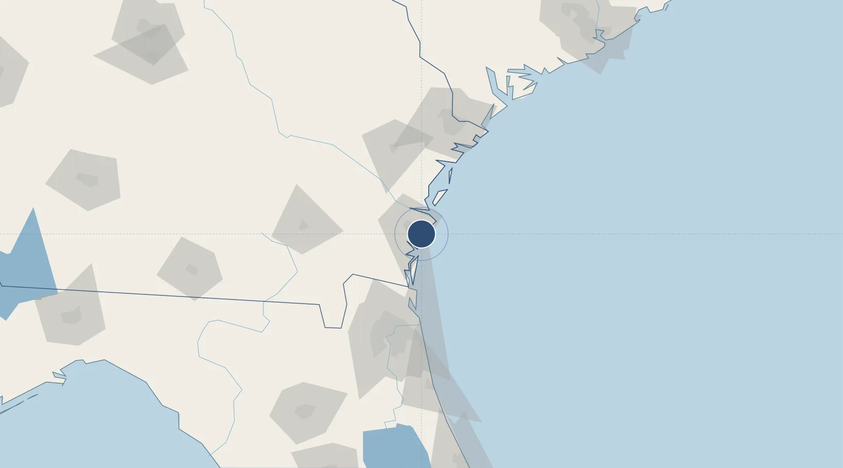
31.1518°, -81.3913°
5,584 ft
Longest runway
2
Runways
19 ft
Elevation

Runway & Layout

St Simons Island Airport runway & taxiway layout
Runway & taxiway layout — OpenStreetMap (ODbL) / OurAirports

Radio Frequencies

ASOS
118.525 MHz
CNTR
126.75 MHz
JACKSONVILLE CNTR
UNIC
123.05 MHz
CTAF/UNICOM
OurAirports

Navaids

JUK NDB Mc Kinnon 353 kHz
OurAirports

Runways · 2

RunwayDimensions SurfaceTrue headingLit
04/22 5,584 × 100ft Asphalt 036°
16/34 3,313 × 75ft Asphalt 154°
OurAirports

Airport Specifications

IATA code
SSI
OurAirports
ICAO code
KSSI
OurAirports
Airport class
Medium airport
OurAirports
Scheduled service
No
OurAirports
Runway surface
Asphalt
OurAirports
Served city
St Simons Island
OurAirports

Location

Location of KSSI
Natural Earth 10m (public domain) · Georgia · KSSI · 31.15, -81.39GoogleOSMYandex

Nearby Logistics Neighbours

Airports
  1. 1Brunswick Golden Isles Airport14 km
  2. 2Jacksonville International Airport79 km
  3. 3Naval Station Mayport / Admiral David L McDonald Field85 km
  4. 4Jacksonville Executive at Craig Airport91 km
  5. 5Hunter Army Air Field98 km
Nearest neighbours — logibook spatial index (haversine) over the source coordinates
Cities
  1. 1Sea Island5 km
  2. 2Brunswick12 km
  3. 3Townsend44 km
  4. 4Kings Bay44 km
  5. 5Kingsland50 km
Nearest neighbours — logibook spatial index (haversine) over the source coordinates
Ports
  1. 1Brunswick10 km
  2. 2Darien24 km
  3. 3Fernandina Beach53 km
  4. 4Mayport84 km
  5. 5Jacksonville96 km
Nearest neighbours — logibook spatial index (haversine) over the source coordinates
Trade Zones
  1. 1FTZ No. 144 Brunswick10 km
  2. 2FTZ No. 064 Jacksonville105 km
  3. 3FTZ No. 104 Savannah108 km
  4. 4FTZ No. 021 Dorchester County223 km
  5. 5FTZ No. 198 Volusia County237 km
Nearest neighbours — logibook spatial index (haversine) over the source coordinates
DatabookThe Record of Consolidated Knowledge
United States beyond logistics?
Browse databook

All Sources

AirportsOurAirports
Public domain
Portsthe NGA World Port Index
Public domain (US gov)
LocationsUN/LOCODE
UN/LOCODE — free
Trade Zonesthe World Bank SEZ database
CC BY 4.0
Trade ZonesOpen Zone Map
CC BY
InfrastructureOpenStreetMap
ODbL 1.0
← United States airports