Seaport · United States
JacksonvilleUSJAX
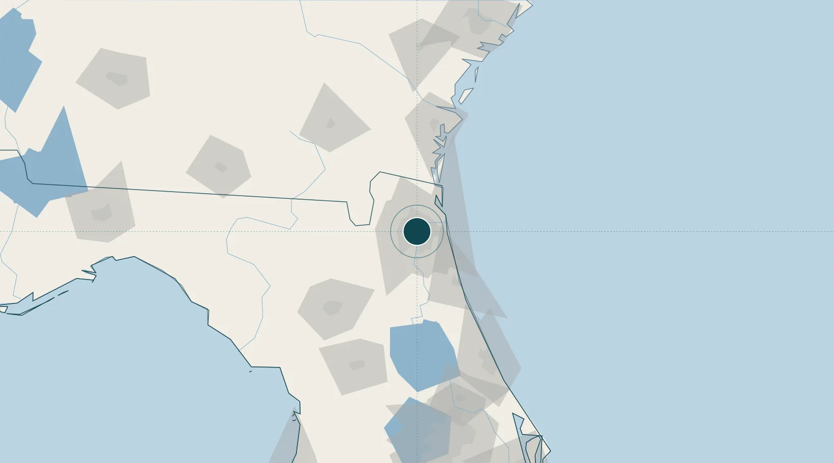
30.3167°, -81.6500°
11.0 m
Channel depth
4
Container terminals
Channel & Berth Profile
Pilotage, Tugs & Services
Pilotage compulsoryYES
Tug assistanceYES
Shore powerYES
Potable waterYES
Diesel bunkersYES
MedicalYES
Garbage disposalYES
Facilities & Capabilities
Container—
Ro-Ro—
Liquid bulk—
Dry bulk—
Oil terminal—
Break bulk—
Dry dockNO
RepairsNO
BunkeringYES
Rail linkYES
Dangerous cargo—
ISPS security—
Harbour Specifications
Harbour size
Medium
Harbour type
River (Natural)
Shelter
Excellent
Water body
North Atlantic Ocean
Tidal range
0.3 m
Overhead limit
Yes
Pilotage
Yes
Location
Container Terminals · 4
SSA JACKSONVILLE CONTAINER TERMINAL (JCT)
BLOJX SSA JACKSONVILLE, LLC
DAMES POINT MARINE TERMINAL
DPJL DAMES POINT JACKSONVILLE, LLC
TOTE TERMINAL BLOUNT ISLAND
TMG FIRST COAST TERMINALS
TALLEYRAND MARINE TERMINAL
TMT JACKSONVILLE PORT AUTHORITY (JAXPORT)
Nearby Logistics Neighbours
Ports
- 1Mayport23 km
- 2Fernandina Beach44 km
- 3St Augustine56 km
- 4Brunswick94 km
- 5Darien119 km
Cities
- 1Marietta13 km
- 2Blount Island16 km
- 3Fleming Island27 km
- 4Saint Johns27 km
- 5Callahan33 km
Airports
Trade Zones
- 1FTZ No. 064 Jacksonville30 km
- 2FTZ No. 144 Brunswick94 km
- 3FTZ No. 198 Volusia County145 km
- 4FTZ No. 250 Seminole County177 km
- 5FTZ No. 104 Savannah204 km
DatabookThe Record of Consolidated Knowledge
United States beyond logistics?