UN/LOCODE hub · United States
USTQW

Townsend

31.5333°, -81.5167°
2
Transport functions

Transport Functions

Rail
Road
UN/LOCODE

Hub Profile

Place type
Populated place
GeoNames
Region
Georgia
GeoNames
Time zone
America/New_York
GeoNames
Elevation
6 m
GeoNames

Location

Location of USTQW
Natural Earth 10m (public domain) · Georgia · USTQW · 31.53, -81.52GoogleOSMYandex

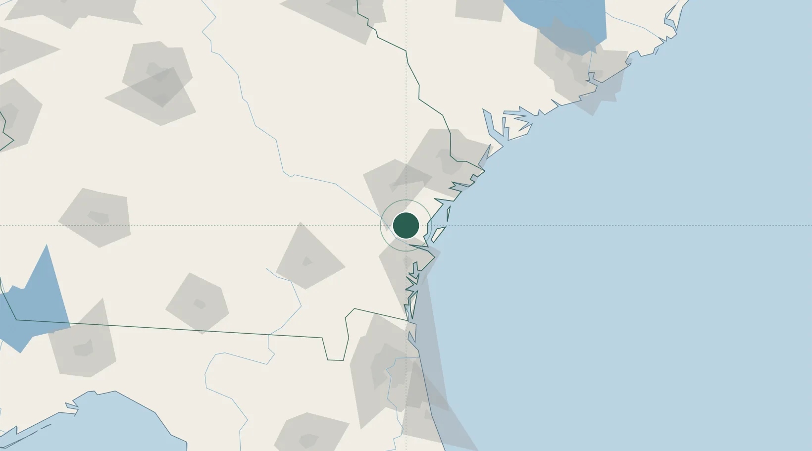
Nearby Logistics Neighbours

Cities
  1. 1McIntosh32 km
  2. 2Fort Stewart38 km
  3. 3Brunswick39 km
  4. 4Sea Island42 km
  5. 5Nahunta57 km
Nearest neighbours — logibook spatial index (haversine) over the source coordinates
Ports
  1. 1Darien20 km
  2. 2Brunswick43 km
  3. 3Savannah74 km
  4. 4Fernandina Beach95 km
  5. 5Port Royal122 km
Nearest neighbours — logibook spatial index (haversine) over the source coordinates
Airports
  1. 1Brunswick Golden Isles Airport31 km
  2. 2St Simons Island Airport44 km
  3. 3Hunter Army Air Field64 km
  4. 4Savannah Hilton Head International Airport72 km
  5. 5Hilton Head Airport109 km
Nearest neighbours — logibook spatial index (haversine) over the source coordinates
Trade Zones
  1. 1FTZ No. 144 Brunswick42 km
  2. 2FTZ No. 104 Savannah74 km
  3. 3FTZ No. 064 Jacksonville139 km
  4. 4FTZ No. 021 Dorchester County187 km
  5. 5FTZ No. 127 West Columbia276 km
Nearest neighbours — logibook spatial index (haversine) over the source coordinates
DatabookThe Record of Consolidated Knowledge
United States beyond logistics?
Browse databook

All Sources

LocationsUN/LOCODE
UN/LOCODE — free
Portsthe NGA World Port Index
Public domain (US gov)
AirportsOurAirports
Public domain
Trade Zonesthe World Bank SEZ database
CC BY 4.0
Trade ZonesOpen Zone Map
CC BY
← United States locations