Large airport · United States
Jacksonville International AirportKJAX
30.4925°, -81.6878°
10,000 ft
Longest runway
2
Runways
30 ft
Elevation
Runway & Layout

Radio Frequencies
ATIS
125.85 MHz
TWR
118.3 MHz
GND
121.9 MHz
CLD
119.5 MHz
CLNC DEL
A/D
118 MHz
APP/DEP
INFO
25.125 MHz
ANG MAINT
MISC
27.39 MHz
ANG SOF
POST
25.125 MHz
ANG COMD POST
UNIC
122.95 MHz
UNICOM
Navaids
EYA NDB Eastport 357 kHz
JA NDB Dinns 344 kHz
Runways · 2
| Runway | Dimensions | Surface | True heading | Lit |
|---|---|---|---|---|
| 08/26 | 10,000 × 150ft | Concrete | 071° | ✓ |
| 14/32 | 7,701 × 150ft | Concrete | 131° | ✓ |
Airport Specifications
IATA code
JAX
ICAO code
KJAX
Airport class
Large airport
Scheduled service
Yes
Runway surface
Concrete
Served city
Jacksonville
Location
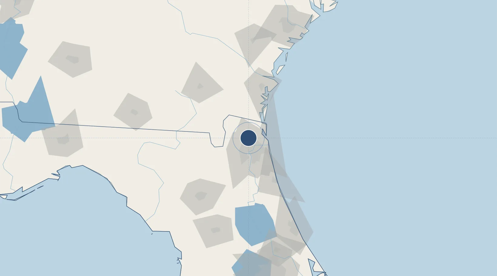
Nearby Logistics Neighbours
Airports
Cities
- 1Jacksonville13 km
- 2Callahan16 km
- 3Blount Island19 km
- 4Marietta22 km
- 5Amelia City25 km
Ports
- 1Jacksonville20 km
- 2Mayport27 km
- 3Fernandina Beach30 km
- 4St Augustine75 km
- 5Brunswick75 km
Trade Zones
- 1FTZ No. 064 Jacksonville31 km
- 2FTZ No. 144 Brunswick76 km
- 3FTZ No. 198 Volusia County165 km
- 4FTZ No. 104 Savannah187 km
- 5FTZ No. 250 Seminole County197 km
DatabookThe Record of Consolidated Knowledge
United States beyond logistics?