Foreign Trade Zone · United States

FTZ No. 104 Savannah Active
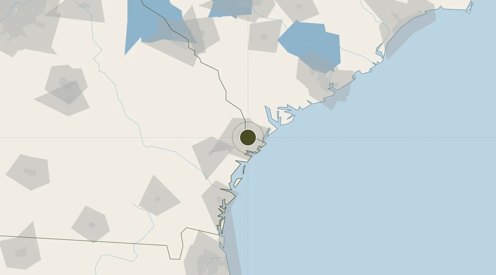
32.0921°, -81.0944°
1.4 km
Nearest port
10.3 km
Nearest airport

Gateway access

Nearest neighbours — logibook spatial index (haversine) over the source coordinates

Zone profile

Zone type
Foreign Trade Zone
Open Zone Map
Region
Georgia
Open Zone Map
Status
Active
Open Zone Map
Management
Public-Private Partnership
Open Zone Map
Operator
World Trade Center Savannah, LLC.
Open Zone Map
Legal framework
Foreign-Trade Zones Act
Open Zone Map

Location

Location of ozm-4888
Natural Earth 10m (public domain) · Georgia · ozm-4888 · 32.09, -81.09GoogleOSMYandex

Nearby Logistics Neighbours

Ports
  1. 1Savannah1 km
  2. 2Port Royal49 km
  3. 3Beaufort55 km
  4. 4Darien87 km
  5. 5Brunswick112 km
Nearest neighbours — logibook spatial index (haversine) over the source coordinates
Airports
  1. 1Hunter Army Air Field10 km
  2. 2Savannah Hilton Head International Airport11 km
  3. 3Hilton Head Airport40 km
  4. 4Beaufort MCAS - Merritt Field55 km
  5. 5Brunswick Golden Isles Airport99 km
Nearest neighbours — logibook spatial index (haversine) over the source coordinates
Cities
  1. 1Savannah7 km
  2. 2Tybee Island27 km
  3. 3Ellabell37 km
  4. 4Lanier41 km
  5. 5Clyo46 km
Nearest neighbours — logibook spatial index (haversine) over the source coordinates
Trade Zones
  1. 1FTZ No. 144 Brunswick111 km
  2. 2FTZ No. 021 Dorchester County115 km
  3. 3FTZ No. 064 Jacksonville211 km
  4. 4FTZ No. 127 West Columbia211 km
  5. 5FTZ No. 038 Spartanburg County329 km
Nearest neighbours — logibook spatial index (haversine) over the source coordinates
DatabookThe Record of Consolidated Knowledge
United States beyond logistics?
Browse databook

All Sources

Trade ZonesOpen Zone Map
CC BY
Portsthe NGA World Port Index
Public domain (US gov)
AirportsOurAirports
Public domain
LocationsUN/LOCODE
UN/LOCODE — free
← United States trade zones