Transport Functions
Road
Multimodal
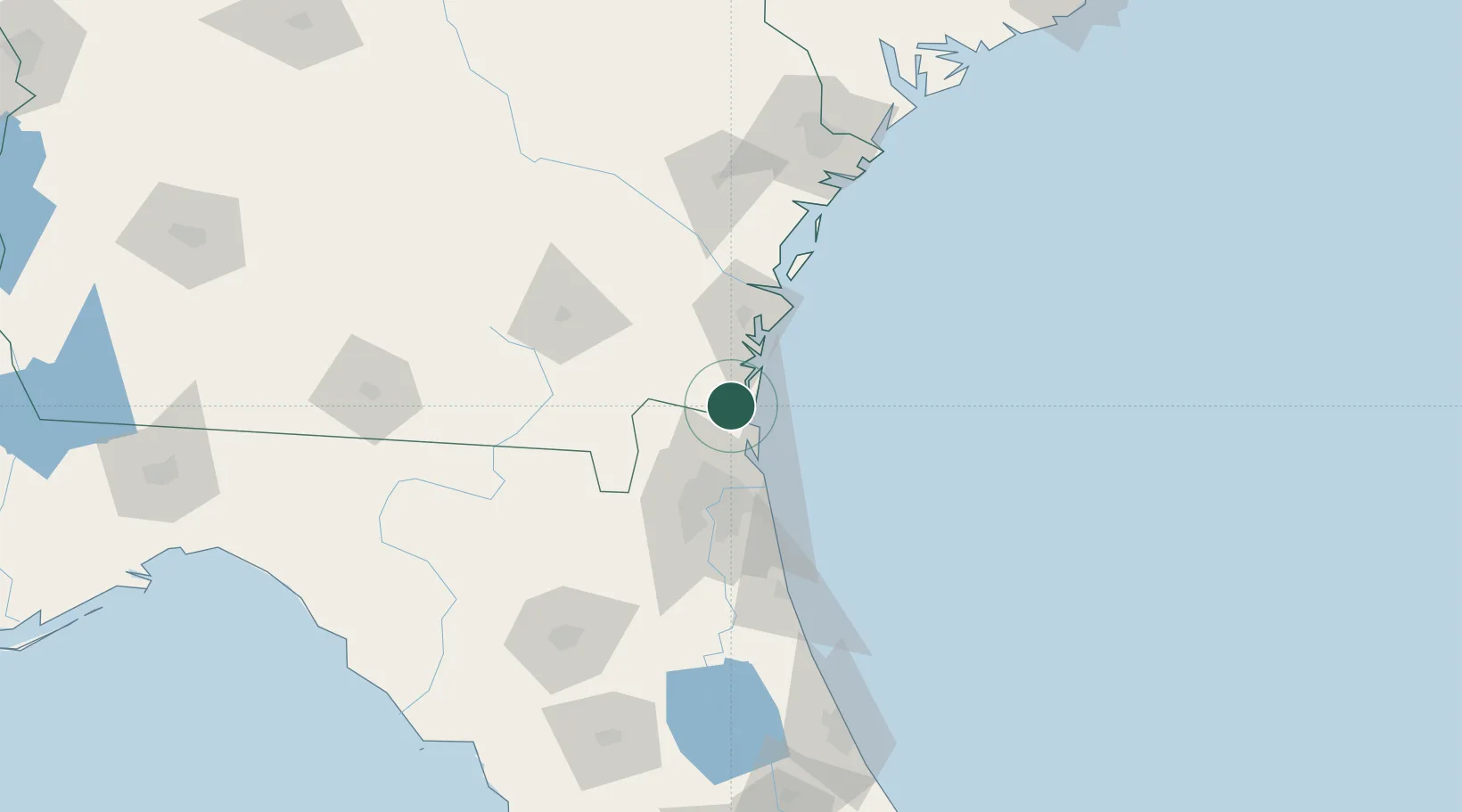
Hub Profile
Place type
Populated place
Region
Florida
Time zone
America/New_York
Elevation
4 m
Location
Nearby Logistics Neighbours
Cities
- 1Kingsland11 km
- 2Fernandina Beach15 km
- 3Amelia City25 km
- 4Greenville26 km
- 5Callahan35 km
Ports
- 1Fernandina Beach15 km
- 2Brunswick41 km
- 3Mayport45 km
- 4Jacksonville53 km
- 5Darien66 km
Airports
Trade Zones
- 1FTZ No. 144 Brunswick42 km
- 2FTZ No. 064 Jacksonville62 km
- 3FTZ No. 104 Savannah152 km
- 4FTZ No. 198 Volusia County196 km
- 5FTZ No. 250 Seminole County228 km
DatabookThe Record of Consolidated Knowledge
United States beyond logistics?