UN/LOCODE hub · United States
USSSI
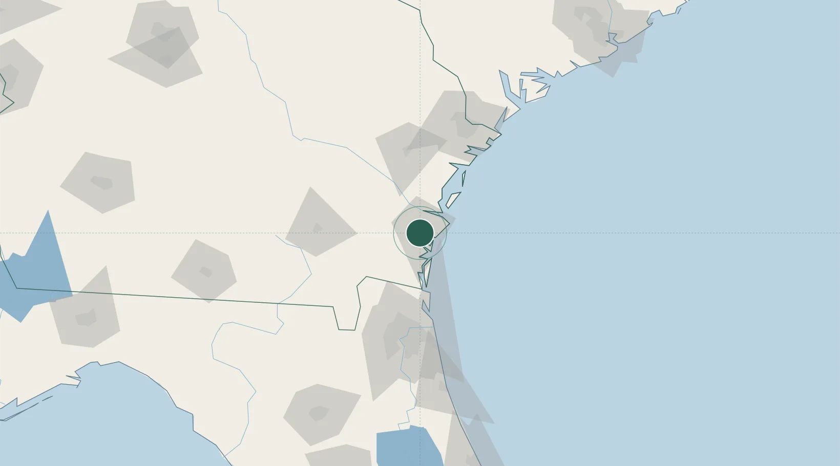
Brunswick
31.1805°, -81.5146°
16,157
Population
2
Transport functions
Transport Functions
Port
Airport
Hub Profile
Place type
Provincial seat
Region
Georgia
Population
16,157
Time zone
America/New_York
Elevation
3 m
Logistics facilities
1
Location
Nearby Logistics Neighbours
Cities
- 1Sea Island16 km
- 2Townsend39 km
- 3Nahunta43 km
- 4Kings Bay44 km
- 5Kingsland47 km
Ports
- 1Darien22 km
- 2Fernandina Beach56 km
- 3Mayport87 km
- 4Jacksonville97 km
- 5Savannah108 km
Airports
Trade Zones
- 1FTZ No. 144 Brunswick3 km
- 2FTZ No. 064 Jacksonville102 km
- 3FTZ No. 104 Savannah109 km
- 4FTZ No. 021 Dorchester County224 km
- 5FTZ No. 198 Volusia County240 km
DatabookThe Record of Consolidated Knowledge
United States beyond logistics?