Foreign Trade Zone · United States
FTZ No. 064 Jacksonville Active
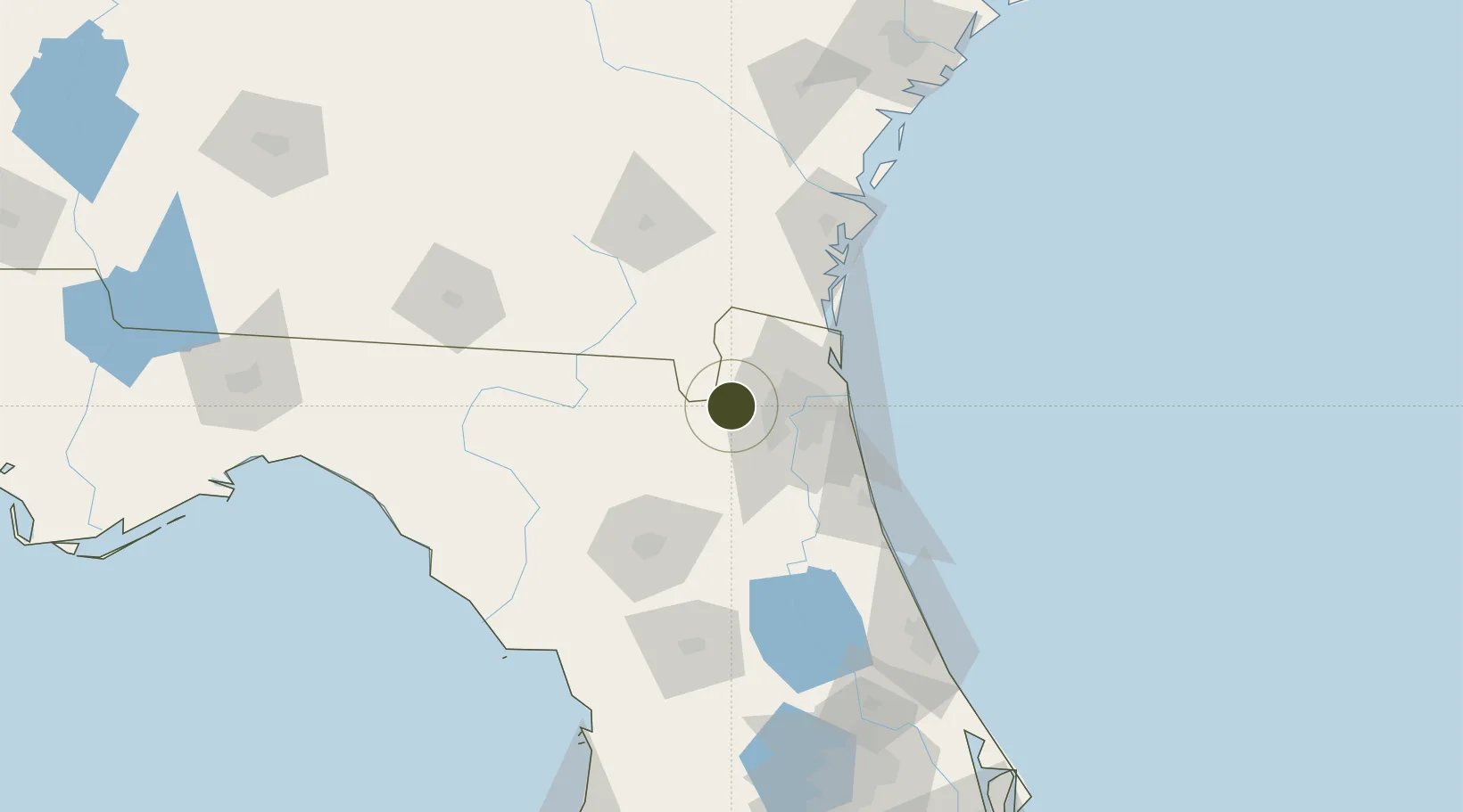
30.3447°, -81.9633°
30.2 km
Nearest port
16.3 km
Nearest airport
Gateway access
Zone profile
Zone type
Foreign Trade Zone
Region
Florida
Status
Active
Management
Public
Operator
Jacksonville Port Authority
Legal framework
Foreign-Trade Zones Act
Location
Nearby Logistics Neighbours
Ports
- 1Jacksonville30 km
- 2Mayport51 km
- 3Fernandina Beach61 km
- 4St Augustine80 km
- 5Brunswick100 km
Airports
Cities
- 1Macclenny17 km
- 2Marietta18 km
- 3Callahan28 km
- 4Jacksonville30 km
- 5Fleming Island38 km
Trade Zones
- 1FTZ No. 144 Brunswick100 km
- 2FTZ No. 198 Volusia County155 km
- 3FTZ No. 250 Seminole County187 km
- 4FTZ No. 104 Savannah211 km
- 5FTZ No. 042 Orlando212 km
DatabookThe Record of Consolidated Knowledge
United States beyond logistics?