Medium airport · United States
Jacksonville Executive at Craig AirportKCRG
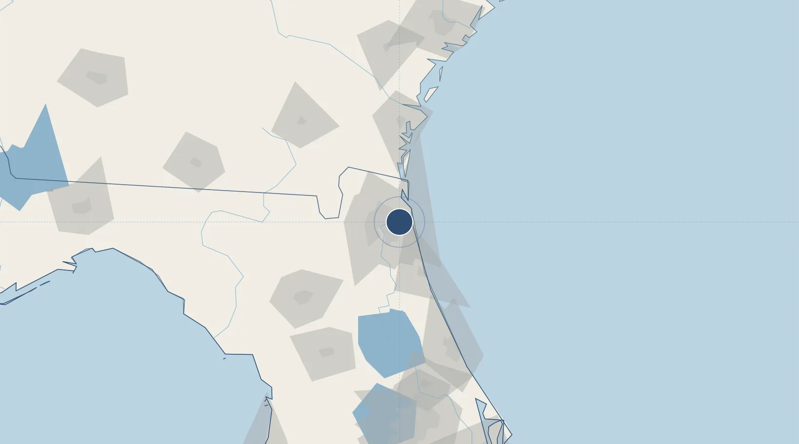
30.3363°, -81.5144°
4,008 ft
Longest runway
2
Runways
41 ft
Elevation
Runway & Layout

Radio Frequencies
ATIS
125.4 MHz
TWR
132.1 MHz
GND
121.8 MHz
CLD
118.35 MHz
CLNC DEL
APP
124.9 MHz
JACKSONVILLE APP
DEP
118 MHz
JACKSONVILLE DEP
CTAF
132.1 MHz
RDO
122.2 MHz
GAINESVILLE RDO
UNIC
122.95 MHz
UNICOM
Runways · 2
| Runway | Dimensions | Surface | True heading | Lit |
|---|---|---|---|---|
| 14/32 | 4,008 × 100ft | Asphalt | 135° | ✓ |
| 05/23 | 4,004 × 100ft | Asphalt | 045° | ✓ |
Airport Specifications
IATA code
CRG
ICAO code
KCRG
Airport class
Medium airport
Scheduled service
No
Runway surface
Asphalt
Served city
Jacksonville
Location
Nearby Logistics Neighbours
Airports
Cities
- 1Blount Island7 km
- 2Jacksonville14 km
- 3Marietta26 km
- 4Amelia City28 km
- 5Saint Johns29 km
Ports
- 1Mayport11 km
- 2Jacksonville13 km
- 3Fernandina Beach39 km
- 4St Augustine52 km
- 5Brunswick91 km
Trade Zones
- 1FTZ No. 064 Jacksonville43 km
- 2FTZ No. 144 Brunswick91 km
- 3FTZ No. 198 Volusia County146 km
- 4FTZ No. 250 Seminole County178 km
- 5FTZ No. 104 Savannah199 km
DatabookThe Record of Consolidated Knowledge
United States beyond logistics?