Foreign Trade Zone · United States

FTZ No. 144 Brunswick Active
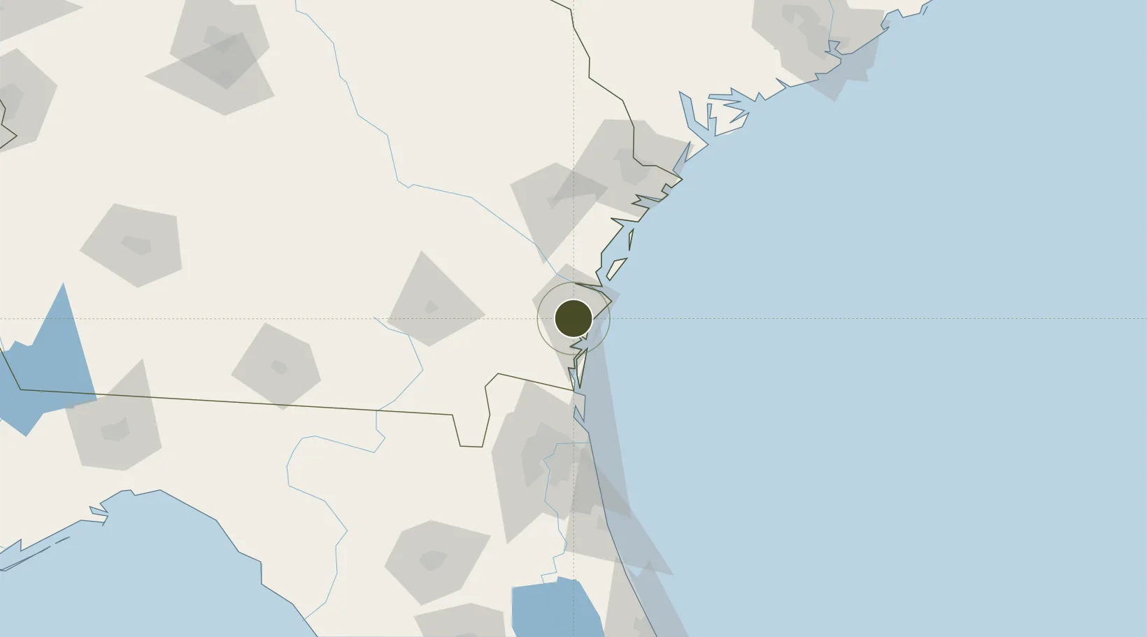
31.1535°, -81.5005°
0.4 km
Nearest port
10.4 km
Nearest airport

Gateway access

Nearest neighbours — logibook spatial index (haversine) over the source coordinates

Zone profile

Zone type
Foreign Trade Zone
Open Zone Map
Region
Georgia
Open Zone Map
Status
Active
Open Zone Map
Management
Public
Open Zone Map
Operator
Brunswick and Glynn County Development Authority
Open Zone Map
Legal framework
Foreign-Trade Zones Act
Open Zone Map

Location

Location of ozm-4734
Natural Earth 10m (public domain) · Georgia · ozm-4734 · 31.15, -81.50GoogleOSMYandex

Nearby Logistics Neighbours

Ports
  1. 1Brunswick0 km
  2. 2Darien25 km
  3. 3Fernandina Beach52 km
  4. 4Mayport84 km
  5. 5Jacksonville94 km
Nearest neighbours — logibook spatial index (haversine) over the source coordinates
Airports
  1. 1St Simons Island Airport10 km
  2. 2Brunswick Golden Isles Airport12 km
  3. 3Jacksonville International Airport76 km
  4. 4Naval Station Mayport / Admiral David L McDonald Field85 km
  5. 5Jacksonville Executive at Craig Airport91 km
Nearest neighbours — logibook spatial index (haversine) over the source coordinates
Cities
  1. 1Brunswick3 km
  2. 2Sea Island15 km
  3. 3Kings Bay42 km
  4. 4Townsend42 km
  5. 5Nahunta45 km
Nearest neighbours — logibook spatial index (haversine) over the source coordinates
Trade Zones
  1. 1FTZ No. 064 Jacksonville100 km
  2. 2FTZ No. 104 Savannah111 km
  3. 3FTZ No. 021 Dorchester County226 km
  4. 4FTZ No. 198 Volusia County237 km
  5. 5FTZ No. 250 Seminole County268 km
Nearest neighbours — logibook spatial index (haversine) over the source coordinates
DatabookThe Record of Consolidated Knowledge
United States beyond logistics?
Browse databook

All Sources

Trade ZonesOpen Zone Map
CC BY
Portsthe NGA World Port Index
Public domain (US gov)
AirportsOurAirports
Public domain
LocationsUN/LOCODE
UN/LOCODE — free
← United States trade zones