Seaport · United States
Fernandina BeachUSFEB
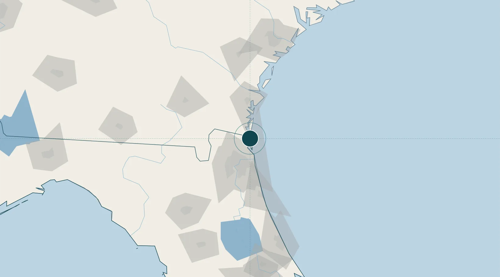
30.6833°, -81.4667°
7.9 m
Channel depth
7.0
Port liner connectivity
Channel & Berth Profile
Pilotage, Tugs & Services
Pilotage compulsoryYES
Tug assistanceYES
Shore powerYES
Potable waterYES
Diesel bunkersYES
MedicalYES
Facilities & Capabilities
Container—
Ro-Ro—
Liquid bulk—
Dry bulk—
Oil terminal—
Break bulk—
Dry dock—
RepairsNO
BunkeringYES
Rail linkYES
Dangerous cargo—
ISPS security—
Harbour Specifications
Harbour size
Small
Harbour type
River (Natural)
Shelter
Good
Water body
North Atlantic Ocean
Tidal range
1.8 m
Pilotage
Yes
Liner Connectivity
7
PLSCI
Port Liner Shipping Connectivity Index for Fernandina Beach, as published by UNCTAD for the latest available quarter. Higher values indicate stronger scheduled liner-shipping integration.
Shown relative to the highest per-port PLSCI in the dataset (1,657.9).
Location
Nearby Logistics Neighbours
Ports
- 1Mayport32 km
- 2Jacksonville44 km
- 3Brunswick52 km
- 4Darien76 km
- 5St Augustine88 km
Cities
- 1Amelia City11 km
- 2Kings Bay15 km
- 3Kingsland24 km
- 4Blount Island32 km
- 5Greenville37 km
Airports
Trade Zones
- 1FTZ No. 144 Brunswick52 km
- 2FTZ No. 064 Jacksonville61 km
- 3FTZ No. 104 Savannah161 km
- 4FTZ No. 198 Volusia County185 km
- 5FTZ No. 250 Seminole County216 km
DatabookThe Record of Consolidated Knowledge
United States beyond logistics?