UN/LOCODE hub · United States
USKNL
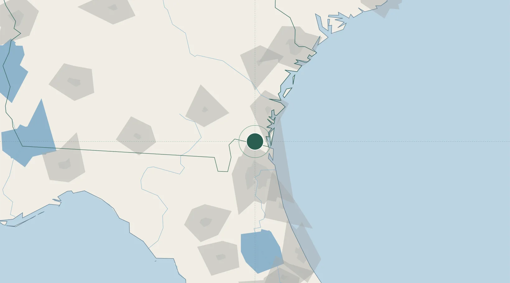
Kingsland
30.7833°, -81.6833°
16,487
Population
3
Transport functions
Transport Functions
Rail
Road
Multimodal
Hub Profile
Place type
Populated place
Region
Georgia
Population
16,487
Time zone
America/New_York
Elevation
11 m
Location
Nearby Logistics Neighbours
Cities
- 1Kings Bay11 km
- 2Greenville14 km
- 3Fernandina Beach24 km
- 4Callahan28 km
- 5Amelia City32 km
Ports
- 1Fernandina Beach24 km
- 2Brunswick44 km
- 3Mayport49 km
- 4Jacksonville52 km
- 5Darien69 km
Airports
Trade Zones
- 1FTZ No. 144 Brunswick45 km
- 2FTZ No. 064 Jacksonville56 km
- 3FTZ No. 104 Savannah156 km
- 4FTZ No. 198 Volusia County197 km
- 5FTZ No. 250 Seminole County229 km
DatabookThe Record of Consolidated Knowledge
United States beyond logistics?