Transport Functions
Road
Multimodal
Hub Profile
Place type
Provincial seat
Region
Georgia
Population
1,060
Time zone
America/New_York
Elevation
20 m
Logistics facilities
1
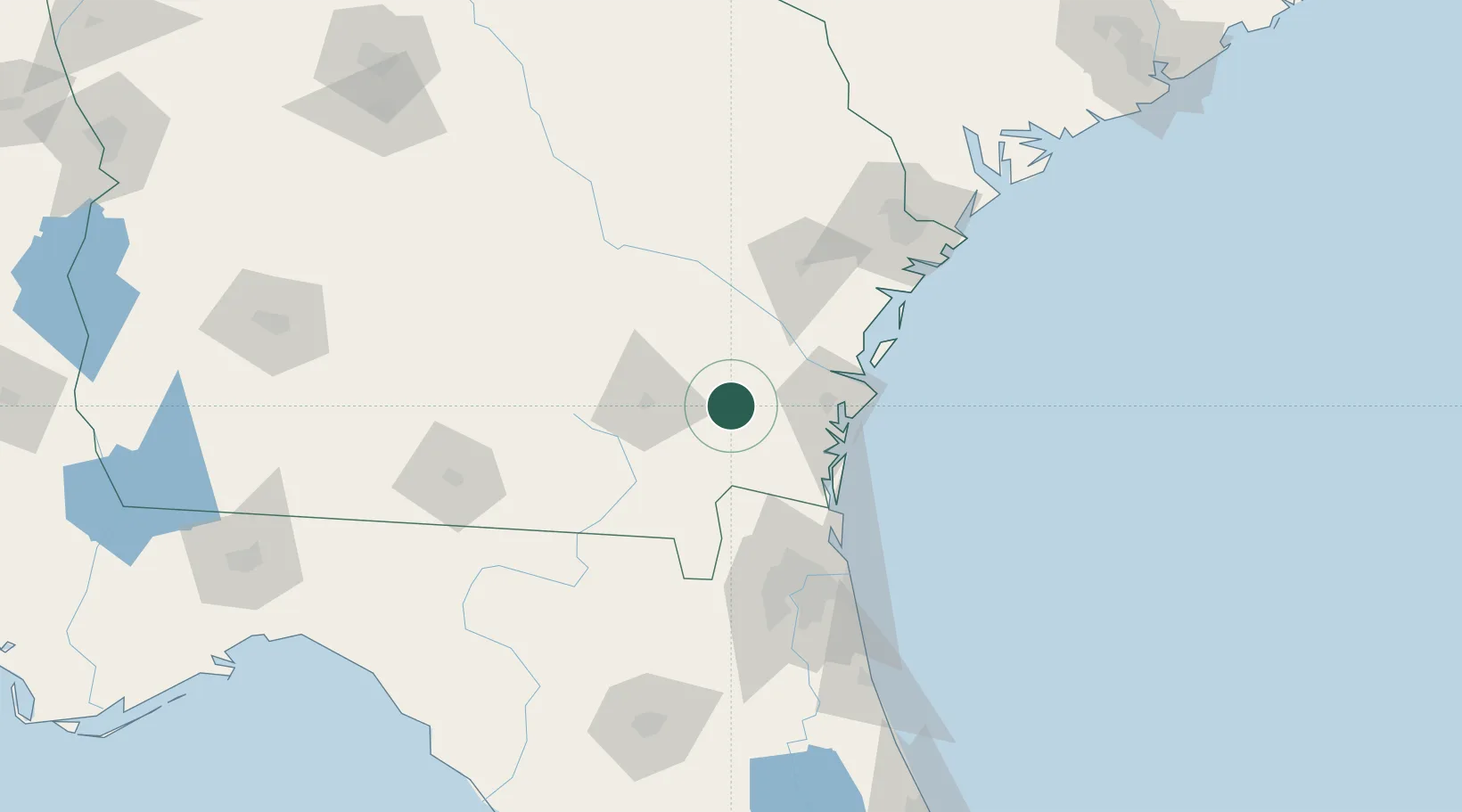
Location
Nearby Logistics Neighbours
Cities
- 1Blackshear29 km
- 2Brunswick43 km
- 3Greenville46 km
- 4Kingsland54 km
- 5Townsend57 km
Ports
- 1Brunswick45 km
- 2Darien54 km
- 3Fernandina Beach75 km
- 4Mayport103 km
- 5Jacksonville103 km
Airports
Trade Zones
- 1FTZ No. 144 Brunswick45 km
- 2FTZ No. 064 Jacksonville95 km
- 3FTZ No. 104 Savannah129 km
- 4FTZ No. 021 Dorchester County240 km
- 5FTZ No. 198 Volusia County247 km
DatabookThe Record of Consolidated Knowledge
United States beyond logistics?