Seaport · United States

MayportUSNRB

30.4000°, -81.4333°
12.5 m
Channel depth

Channel & Berth Profile

SEA LEVEL (CD)CHANNEL BEDChannel · 12.5 mAnchorage · 12.5 mCargo pier · 12.5 m
NGA World Port Index

Pilotage, Tugs & Services

Pilotage compulsoryYES
Tug assistanceYES
Potable waterYES
Diesel bunkersYES
MedicalYES
NGA World Port Index

Facilities & Capabilities

Container
Ro-Ro
Liquid bulk
Dry bulk
Oil terminal
Break bulk
Dry dock
Repairs
BunkeringYES
Rail link
Dangerous cargo
ISPS security
NGA World Port Index

Harbour Specifications

Harbour size
Very Small
NGA World Port Index
Harbour type
River (Natural)
NGA World Port Index
Shelter
Excellent
NGA World Port Index
Water body
North Atlantic Ocean
NGA World Port Index
Tidal range
1.5 m
NGA World Port Index
Overhead limit
Yes
NGA World Port Index
Pilotage
Yes
NGA World Port Index

Location

Location of USNRB
Natural Earth 10m (public domain) · Florida · USNRB · 30.40, -81.43GoogleOSMYandex

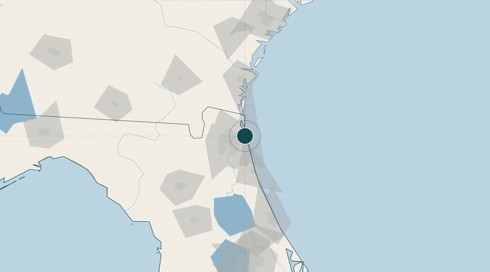
Nearby Logistics Neighbours

Ports
  1. 1Jacksonville23 km
  2. 2Fernandina Beach32 km
  3. 3St Augustine57 km
  4. 4Brunswick84 km
  5. 5Darien108 km
Nearest neighbours — logibook spatial index (haversine) over the source coordinates
Cities
  1. 1Blount Island8 km
  2. 2Amelia City20 km
  3. 3Jacksonville21 km
  4. 4Fernandina Beach31 km
  5. 5Marietta35 km
Nearest neighbours — logibook spatial index (haversine) over the source coordinates
Trade Zones
  1. 1FTZ No. 064 Jacksonville51 km
  2. 2FTZ No. 144 Brunswick84 km
  3. 3FTZ No. 198 Volusia County153 km
  4. 4FTZ No. 250 Seminole County184 km
  5. 5FTZ No. 104 Savannah191 km
Nearest neighbours — logibook spatial index (haversine) over the source coordinates
DatabookThe Record of Consolidated Knowledge
United States beyond logistics?
Browse databook

All Sources

Portsthe NGA World Port Index
Public domain (US gov)
AirportsOurAirports
Public domain
LocationsUN/LOCODE
UN/LOCODE — free
Trade Zonesthe World Bank SEZ database
CC BY 4.0
Trade ZonesOpen Zone Map
CC BY
← United States ports