Medium airport · United States

Naval Station Mayport / Admiral David L McDonald FieldKNRB
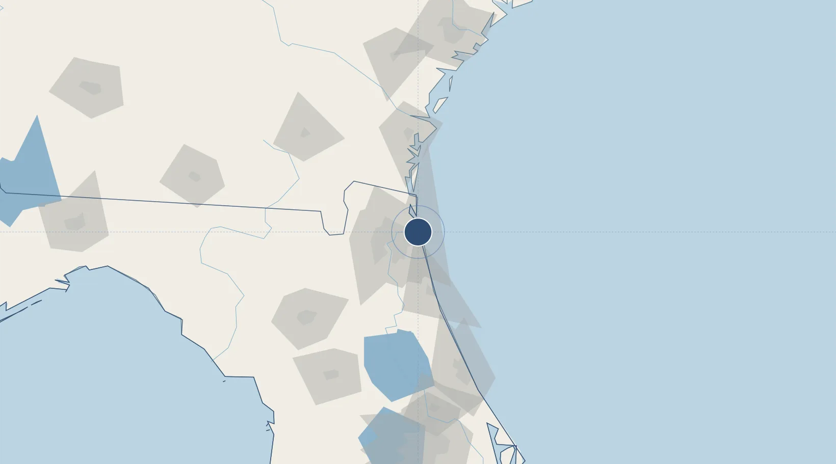
30.3911°, -81.4247°
8,001 ft
Longest runway
1
Runways
15 ft
Elevation

Runway & Layout

Naval Station Mayport / Admiral David L McDonald Field runway & taxiway layout
Runway & taxiway layout — OpenStreetMap (ODbL) / OurAirports

Radio Frequencies

ATIS
26.86 MHz
TWR
118.75 MHz
GND
126.5 MHz
A/D
124.9 MHz
JACKSONVILLE APP/DEP
PTD
30.85 MHz
OurAirports

Runways · 1

RunwayDimensions SurfaceTrue headingLit
05/23 8,001 × 200ft Asphalt 043°
OurAirports

Airport Specifications

IATA code
NRB
OurAirports
ICAO code
KNRB
OurAirports
Airport class
Medium airport
OurAirports
Scheduled service
No
OurAirports
Runway surface
Asphalt
OurAirports
Served city
Jacksonville
OurAirports

Location

Location of KNRB
Natural Earth 10m (public domain) · Florida · KNRB · 30.39, -81.42GoogleOSMYandex

Nearby Logistics Neighbours

Airports
  1. 1Jacksonville Executive at Craig Airport11 km
  2. 2Jacksonville International Airport28 km
  3. 3Jacksonville Naval Air Station (Towers Field)30 km
  4. 4Cecil Airport47 km
  5. 5Northeast Florida Regional Airport49 km
Nearest neighbours — logibook spatial index (haversine) over the source coordinates
Cities
  1. 1Blount Island9 km
  2. 2Amelia City22 km
  3. 3Jacksonville22 km
  4. 4Fernandina Beach32 km
  5. 5Marietta35 km
Nearest neighbours — logibook spatial index (haversine) over the source coordinates
Ports
  1. 1Mayport1 km
  2. 2Jacksonville23 km
  3. 3Fernandina Beach33 km
  4. 4St Augustine56 km
  5. 5Brunswick85 km
Nearest neighbours — logibook spatial index (haversine) over the source coordinates
Trade Zones
  1. 1FTZ No. 064 Jacksonville52 km
  2. 2FTZ No. 144 Brunswick85 km
  3. 3FTZ No. 198 Volusia County152 km
  4. 4FTZ No. 250 Seminole County183 km
  5. 5FTZ No. 104 Savannah192 km
Nearest neighbours — logibook spatial index (haversine) over the source coordinates
DatabookThe Record of Consolidated Knowledge
United States beyond logistics?
Browse databook

All Sources

AirportsOurAirports
Public domain
Portsthe NGA World Port Index
Public domain (US gov)
LocationsUN/LOCODE
UN/LOCODE — free
Trade Zonesthe World Bank SEZ database
CC BY 4.0
Trade ZonesOpen Zone Map
CC BY
InfrastructureOpenStreetMap
ODbL 1.0
← United States airports