Transport Functions
Road
Multimodal
Hub Profile
Place type
Populated place
Region
Georgia
Time zone
America/New_York
Elevation
2 m
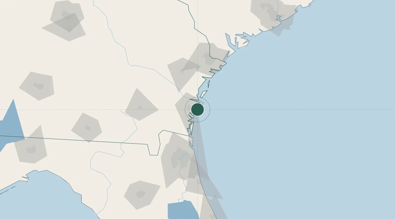
Location
Nearby Logistics Neighbours
Cities
- 1Brunswick16 km
- 2Townsend42 km
- 3Kings Bay49 km
- 4Kingsland55 km
- 5Fernandina Beach57 km
Ports
- 1Brunswick15 km
- 2Darien22 km
- 3Fernandina Beach57 km
- 4Mayport88 km
- 5Jacksonville101 km
Airports
Trade Zones
- 1FTZ No. 144 Brunswick15 km
- 2FTZ No. 104 Savannah104 km
- 3FTZ No. 064 Jacksonville110 km
- 4FTZ No. 021 Dorchester County219 km
- 5FTZ No. 198 Volusia County241 km
DatabookThe Record of Consolidated Knowledge
United States beyond logistics?