Medium airport · United States

Brunswick Golden Isles AirportKBQK
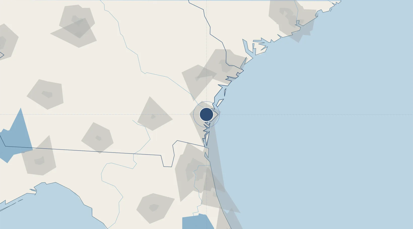
31.2588°, -81.4665°
8,001 ft
Longest runway
1
Runways
26 ft
Elevation

Runway & Layout

Brunswick Golden Isles Airport runway & taxiway layout
Runway & taxiway layout — OpenStreetMap (ODbL) / OurAirports

Radio Frequencies

AWOS
124.175 MHz
AWOS 3
CLD
126.75 MHz
CLNC DEL
CNTR
126.75 MHz
JACKSONVILLE CNTR
RDO
122.2 MHz
MACON RDO
UNIC
122.8 MHz
CTAF/UNICOM
OurAirports

Navaids

BQ NDB Jeffi 275 kHz
SSI VORTAC Brunswick 109.80 MHz
OurAirports

Runways · 1

RunwayDimensions SurfaceTrue headingLit
07/25 8,001 × 150ft Asphalt / concrete 065°
OurAirports

Airport Specifications

IATA code
BQK
OurAirports
ICAO code
KBQK
OurAirports
Airport class
Medium airport
OurAirports
Scheduled service
Yes
OurAirports
Runway surface
Asphalt / concrete
OurAirports
Served city
Brunswick
OurAirports

Location

Location of KBQK
Natural Earth 10m (public domain) · Georgia · KBQK · 31.26, -81.47GoogleOSMYandex

Nearby Logistics Neighbours

Airports
  1. 1St Simons Island Airport14 km
  2. 2Jacksonville International Airport88 km
  3. 3Hunter Army Air Field89 km
  4. 4Naval Station Mayport / Admiral David L McDonald Field97 km
  5. 5Savannah Hilton Head International Airport100 km
Nearest neighbours — logibook spatial index (haversine) over the source coordinates
Cities
  1. 1Brunswick10 km
  2. 2Sea Island14 km
  3. 3Townsend31 km
  4. 4Nahunta48 km
  5. 5Kings Bay54 km
Nearest neighbours — logibook spatial index (haversine) over the source coordinates
Ports
  1. 1Darien12 km
  2. 2Brunswick13 km
  3. 3Fernandina Beach64 km
  4. 4Mayport96 km
  5. 5Savannah99 km
Nearest neighbours — logibook spatial index (haversine) over the source coordinates
Trade Zones
  1. 1FTZ No. 144 Brunswick12 km
  2. 2FTZ No. 104 Savannah99 km
  3. 3FTZ No. 064 Jacksonville112 km
  4. 4FTZ No. 021 Dorchester County214 km
  5. 5FTZ No. 198 Volusia County249 km
Nearest neighbours — logibook spatial index (haversine) over the source coordinates
DatabookThe Record of Consolidated Knowledge
United States beyond logistics?
Browse databook

All Sources

AirportsOurAirports
Public domain
Portsthe NGA World Port Index
Public domain (US gov)
LocationsUN/LOCODE
UN/LOCODE — free
Trade Zonesthe World Bank SEZ database
CC BY 4.0
Trade ZonesOpen Zone Map
CC BY
InfrastructureOpenStreetMap
ODbL 1.0
← United States airports