Transport Functions
Port
Hub Profile
Region
AL
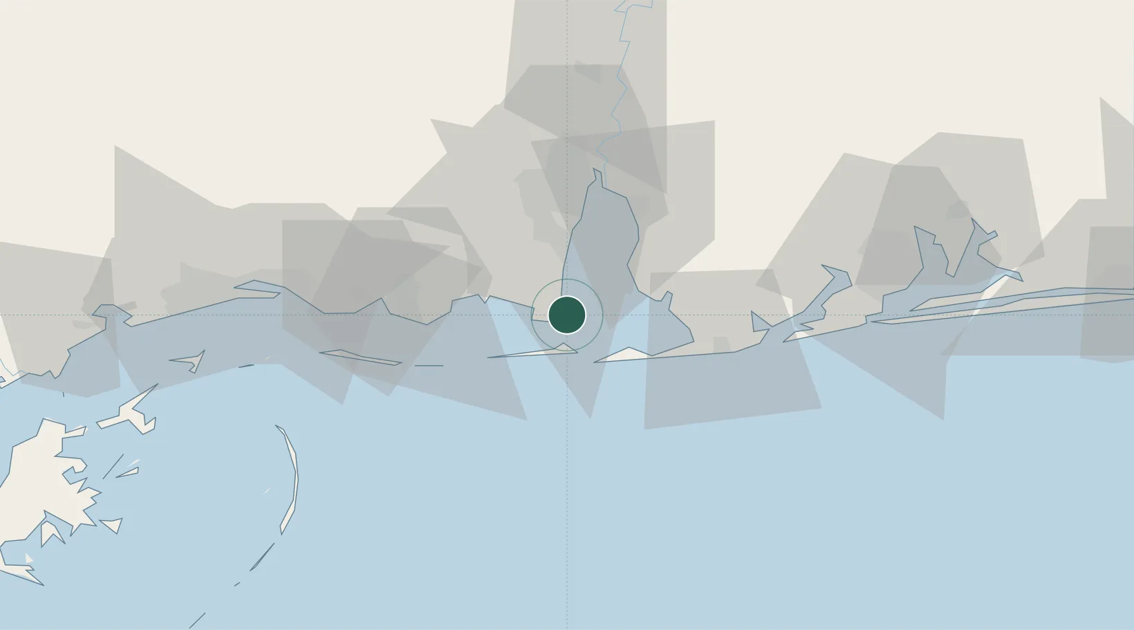
Location
Nearby Logistics Neighbours
Cities
- 1Grand Bay29 km
- 2Daphne34 km
- 3Pinto Island36 km
- 4Bon Secour37 km
- 5Robertsdale43 km
Ports
- 1Mobile37 km
- 2Pascagoula45 km
- 3Biloxi75 km
- 4Pensacola85 km
- 5Gulfport94 km
Airports
Trade Zones
- 1FTZ No. 082 Mobile38 km
- 2FTZ No. 249 Pensacola81 km
- 3FTZ No. 092 Harrison County84 km
- 4FTZ No. 002 New Orleans194 km
- 5FTZ No. 065 Panama City227 km
DatabookThe Record of Consolidated Knowledge
United States beyond logistics?