Medium airport · United States
Gulfport Biloxi International AirportKGPT
30.4056°, -89.0698°
9,002 ft
Longest runway
2
Runways
28 ft
Elevation
Runway & Layout

Radio Frequencies
ATIS
119.45 MHz
TWR
123.7 MHz
GND
120.4 MHz
CTAF
123.7 MHz
A/D
124.6 MHz
APP/DEP
OPS
37.78 MHz
ANG OPS
RDO
109 MHz
GREENWOOD RDO
UNIC
122.95 MHz
UNICOM
Navaids
GP NDB Bayou 360 kHz
GPT VORTAC Gulfport 109.00 MHz
Runways · 2
| Runway | Dimensions | Surface | True heading | Lit |
|---|---|---|---|---|
| 14/32 | 9,002 × 150ft | Asphalt / concrete | 135° | ✓ |
| 18/36 | 4,935 × 150ft | Asphalt | 180° | ✓ |
Airport Specifications
IATA code
GPT
ICAO code
KGPT
Airport class
Medium airport
Scheduled service
Yes
Runway surface
Asphalt / concrete
Served city
Gulfport
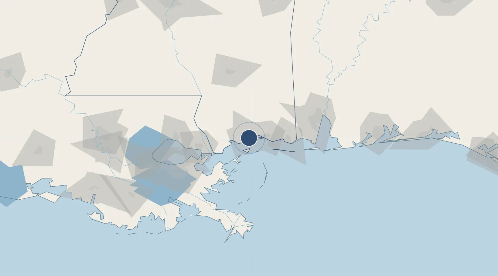
Location
Nearby Logistics Neighbours
Airports
Cities
- 1Gulfport6 km
- 2Long Beach10 km
- 3Ocean Springs23 km
- 4Ship Island26 km
- 5Gautier44 km
Ports
- 1Gulfport6 km
- 2Biloxi18 km
- 3Pascagoula49 km
- 4Slidell70 km
- 5Mobile96 km
Trade Zones
- 1FTZ No. 092 Harrison County10 km
- 2FTZ No. 082 Mobile99 km
- 3FTZ No. 002 New Orleans109 km
- 4FTZ No. 124 Gramercy163 km
- 5FTZ No. 249 Pensacola173 km
DatabookThe Record of Consolidated Knowledge
United States beyond logistics?