UN/LOCODE hub · United States
USIPX

Ship Island

30.2000°, -88.9500°
1
Transport functions

Transport Functions

Port
UN/LOCODE

Hub Profile

Region
MS
GeoNames

Location

Location of USIPX
Natural Earth 10m (public domain) · MS · USIPX · 30.20, -88.95GoogleOSMYandex

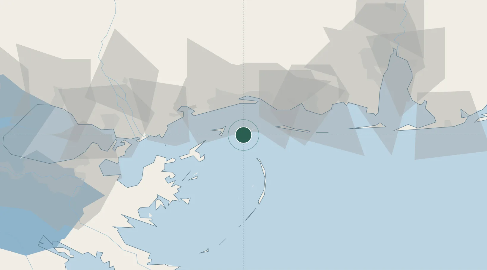
Nearby Logistics Neighbours

Cities
  1. 1Gulfport22 km
  2. 2Long Beach25 km
  3. 3Ocean Springs27 km
  4. 4Gautier38 km
  5. 5Grand Bay63 km
Nearest neighbours — logibook spatial index (haversine) over the source coordinates
Ports
  1. 1Gulfport21 km
  2. 2Biloxi21 km
  3. 3Pascagoula40 km
  4. 4Slidell80 km
  5. 5Mobile96 km
Nearest neighbours — logibook spatial index (haversine) over the source coordinates
Airports
  1. 1Keesler Air Force Base24 km
  2. 2Gulfport Biloxi International Airport26 km
  3. 3Mobile Regional Airport87 km
  4. 4Mobile Downtown Airport97 km
  5. 5Lakefront Airport105 km
Nearest neighbours — logibook spatial index (haversine) over the source coordinates
Trade Zones
  1. 1FTZ No. 092 Harrison County24 km
  2. 2FTZ No. 082 Mobile99 km
  3. 3FTZ No. 002 New Orleans111 km
  4. 4FTZ No. 249 Pensacola164 km
  5. 5FTZ No. 124 Gramercy170 km
Nearest neighbours — logibook spatial index (haversine) over the source coordinates
DatabookThe Record of Consolidated Knowledge
United States beyond logistics?
Browse databook

All Sources

LocationsUN/LOCODE
UN/LOCODE — free
Portsthe NGA World Port Index
Public domain (US gov)
AirportsOurAirports
Public domain
Trade Zonesthe World Bank SEZ database
CC BY 4.0
Trade ZonesOpen Zone Map
CC BY
← United States locations