Foreign Trade Zone · United States

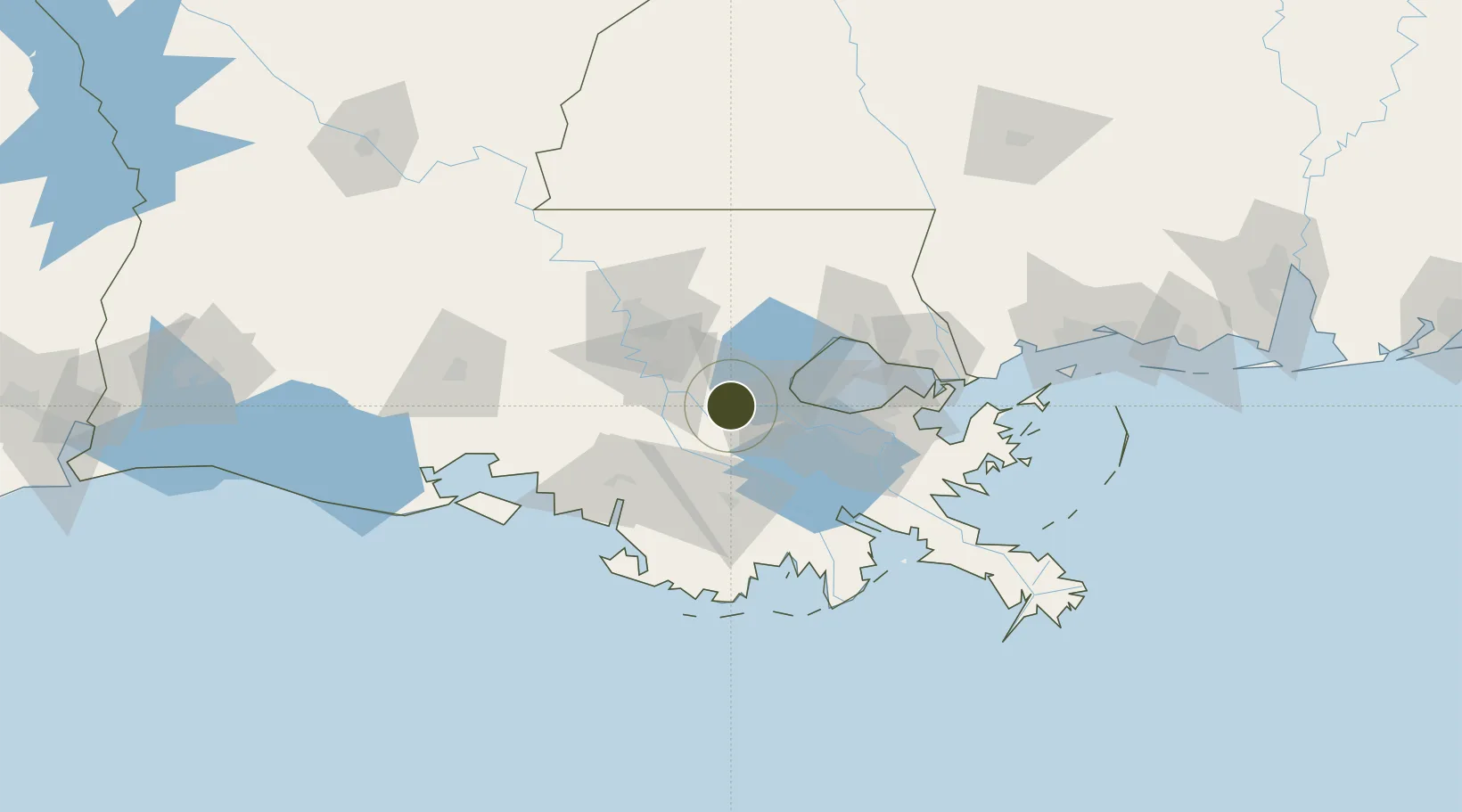
FTZ No. 124 Gramercy Active

30.0598°, -90.7142°
12.4 km
Nearest port
43.9 km
Nearest airport

Gateway access

Nearest neighbours — logibook spatial index (haversine) over the source coordinates

Zone profile

Zone type
Foreign Trade Zone
Open Zone Map
Region
Louisiana
Open Zone Map
Status
Active
Open Zone Map
Management
Public
Open Zone Map
Operator
Port of South Louisiana
Open Zone Map
Legal framework
Foreign-Trade Zones Act
Open Zone Map

Location

Location of ozm-4756
Natural Earth 10m (public domain) · Louisiana · ozm-4756 · 30.06, -90.71GoogleOSMYandex

Nearby Logistics Neighbours

Ports
  1. 1Convent12 km
  2. 2St. James14 km
  3. 3Reserve16 km
  4. 4Destrehan36 km
  5. 5St Rose40 km
Nearest neighbours — logibook spatial index (haversine) over the source coordinates
Airports
  1. 1Louis Armstrong New Orleans International Airport44 km
  2. 2Lakefront Airport66 km
  3. 3Baton Rouge Metropolitan Airport67 km
  4. 4New Orleans NAS JRB/Alvin Callender Field70 km
  5. 5Acadiana Regional Airport113 km
Nearest neighbours — logibook spatial index (haversine) over the source coordinates
Cities
  1. 1Lutcher3 km
  2. 2Vacherie7 km
  3. 3Romeville12 km
  4. 4Saint James14 km
  5. 5Welcome15 km
Nearest neighbours — logibook spatial index (haversine) over the source coordinates
Trade Zones
  1. 1FTZ No. 002 New Orleans64 km
  2. 2FTZ No. 154 Baton Rouge67 km
  3. 3FTZ No. 155 Calhoun Victoria Counties67 km
  4. 4FTZ No. 279 Terrebonne Parish86 km
  5. 5FTZ No. 092 Harrison County172 km
Nearest neighbours — logibook spatial index (haversine) over the source coordinates
DatabookThe Record of Consolidated Knowledge
United States beyond logistics?
Browse databook

All Sources

Trade ZonesOpen Zone Map
CC BY
Portsthe NGA World Port Index
Public domain (US gov)
AirportsOurAirports
Public domain
LocationsUN/LOCODE
UN/LOCODE — free
← United States trade zones