UN/LOCODE hub · United States
USOSP
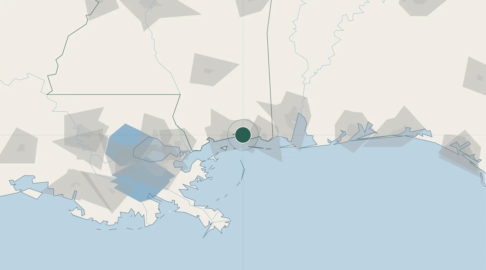
Ocean Springs
30.4167°, -88.8333°
17,636
Population
2
Transport functions
Transport Functions
Road
Multimodal
Hub Profile
Place type
Populated place
Region
Mississippi
Population
17,636
Time zone
America/Chicago
Elevation
7 m
Location
Nearby Logistics Neighbours
Cities
- 1Gautier21 km
- 2Gulfport26 km
- 3Ship Island27 km
- 4Long Beach31 km
- 5Grand Bay45 km
Ports
- 1Biloxi6 km
- 2Gulfport25 km
- 3Pascagoula27 km
- 4Mobile75 km
- 5Slidell93 km
Airports
Trade Zones
- 1FTZ No. 092 Harrison County13 km
- 2FTZ No. 082 Mobile77 km
- 3FTZ No. 002 New Orleans130 km
- 4FTZ No. 249 Pensacola151 km
- 5FTZ No. 124 Gramercy185 km
DatabookThe Record of Consolidated Knowledge
United States beyond logistics?