UN/LOCODE hub · United States
USGDB
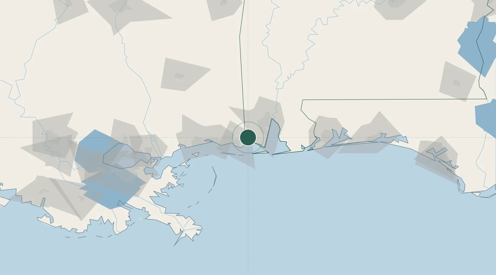
Grand Bay
30.4667°, -88.3667°
3,672
Population
2
Transport functions
Transport Functions
Road
Multimodal
Hub Profile
Place type
Populated place
Region
Alabama
Population
3,672
Time zone
America/Chicago
Elevation
25 m
Location
Nearby Logistics Neighbours
Cities
- 1Gautier26 km
- 2Alabama Pt.29 km
- 3Semmes35 km
- 4Pinto Island40 km
- 5Whistler41 km
Ports
- 1Pascagoula23 km
- 2Mobile34 km
- 3Biloxi50 km
- 4Gulfport70 km
- 5Pensacola111 km
Airports
Trade Zones
- 1FTZ No. 082 Mobile36 km
- 2FTZ No. 092 Harrison County58 km
- 3FTZ No. 249 Pensacola106 km
- 4FTZ No. 002 New Orleans173 km
- 5FTZ No. 124 Gramercy230 km
DatabookThe Record of Consolidated Knowledge
United States beyond logistics?