UN/LOCODE hub · United States
USGAU
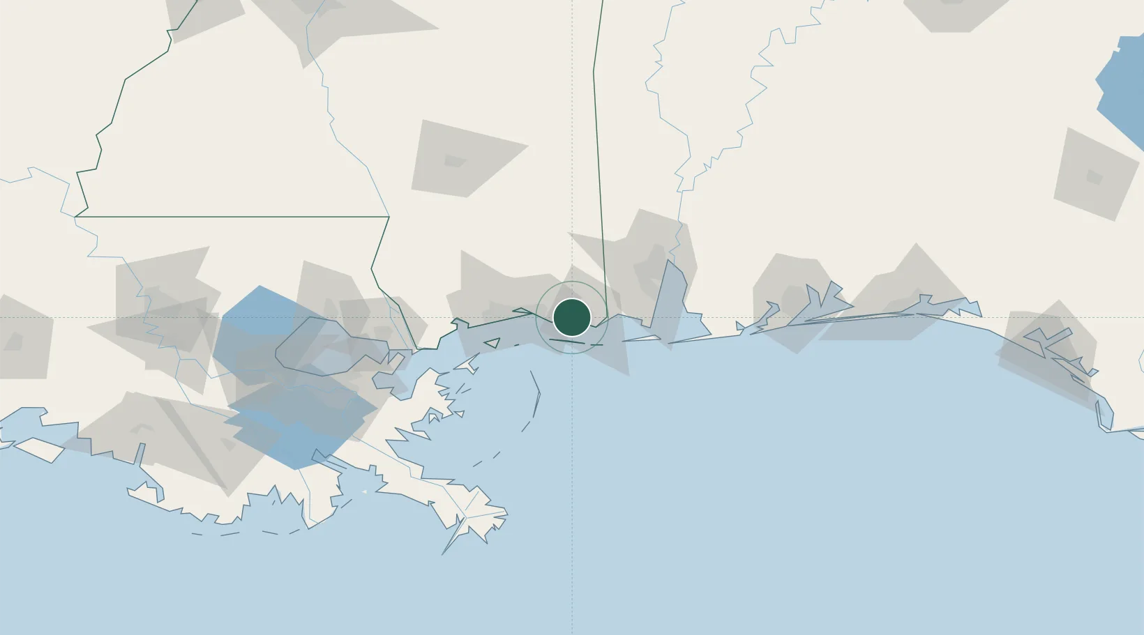
Gautier
30.3833°, -88.6167°
18,570
Population
2
Transport functions
Transport Functions
Rail
Road
Hub Profile
Place type
Populated place
Region
Mississippi
Population
18,570
Time zone
America/Chicago
Elevation
2 m
Location
Nearby Logistics Neighbours
Cities
- 1Ocean Springs21 km
- 2Grand Bay26 km
- 3Ship Island38 km
- 4Gulfport46 km
- 5Alabama Pt.50 km
Ports
- 1Pascagoula6 km
- 2Biloxi26 km
- 3Gulfport45 km
- 4Mobile58 km
- 5Slidell113 km
Airports
Trade Zones
- 1FTZ No. 092 Harrison County34 km
- 2FTZ No. 082 Mobile61 km
- 3FTZ No. 249 Pensacola130 km
- 4FTZ No. 002 New Orleans148 km
- 5FTZ No. 124 Gramercy205 km
DatabookThe Record of Consolidated Knowledge
United States beyond logistics?