UN/LOCODE hub · United States
USZGJ
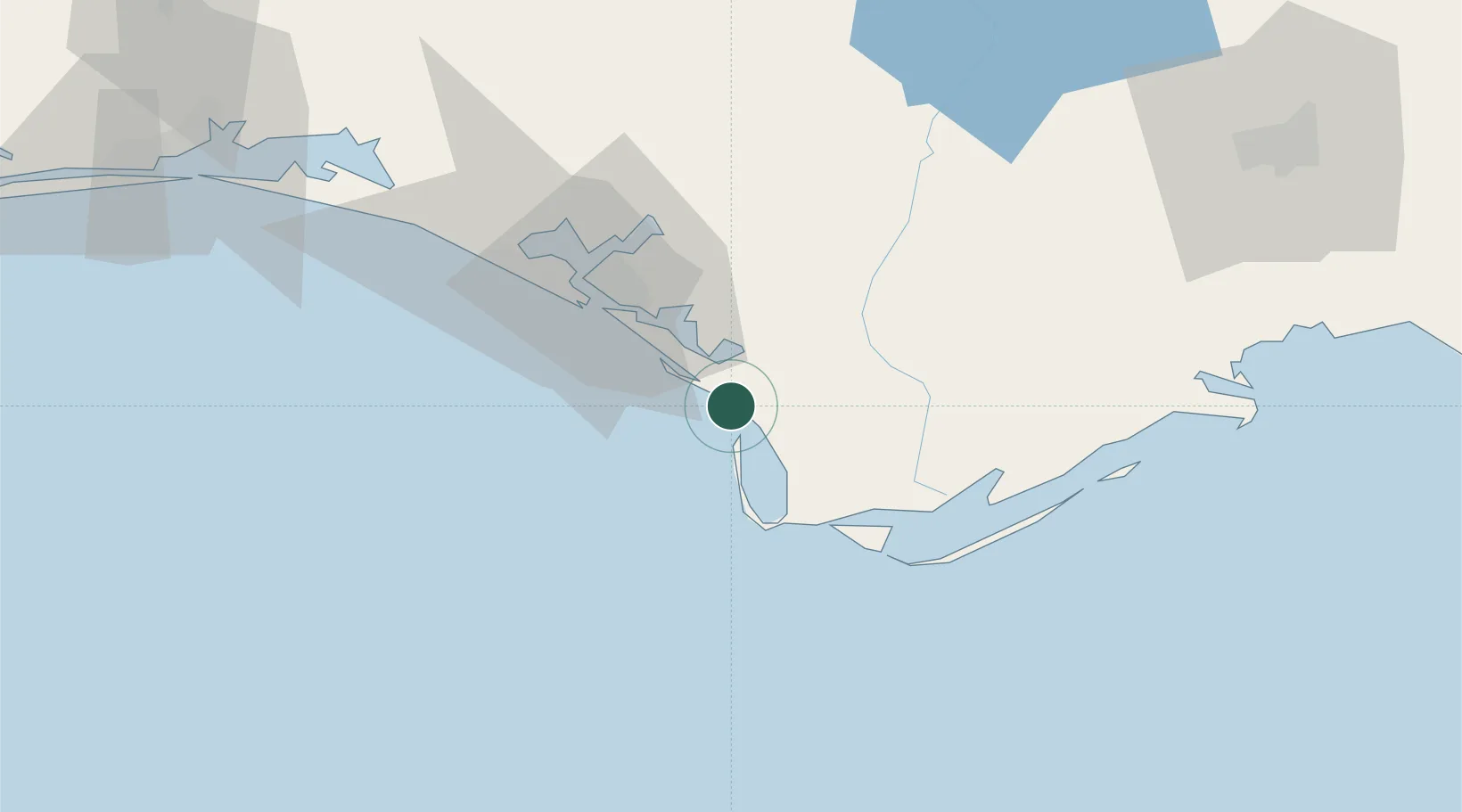
Mexico Beach
29.9333°, -85.4167°
1,167
Population
1
Transport functions
Transport Functions
Multimodal
Hub Profile
Place type
Populated place
Region
Florida
Population
1,167
Time zone
America/Chicago
Elevation
4 m
Location
Nearby Logistics Neighbours
Cities
- 1Port Saint Joe19 km
- 2Callaway28 km
- 3Lynn Haven40 km
- 4Panama City41 km
- 5Telogia74 km
Ports
- 1Port St Joe16 km
- 2Panama City32 km
- 3Apalachicola48 km
- 4Carrabelle73 km
- 5Pensacola181 km
Airports
Trade Zones
- 1FTZ No. 065 Panama City44 km
- 2FTZ No. 233 Dothan144 km
- 3FTZ No. 249 Pensacola186 km
- 4FTZ No. 082 Mobile270 km
- 5FTZ No. 222 Montgomery284 km
DatabookThe Record of Consolidated Knowledge
United States beyond logistics?