Medium airport · United States
Destin Executive AirportKDTS
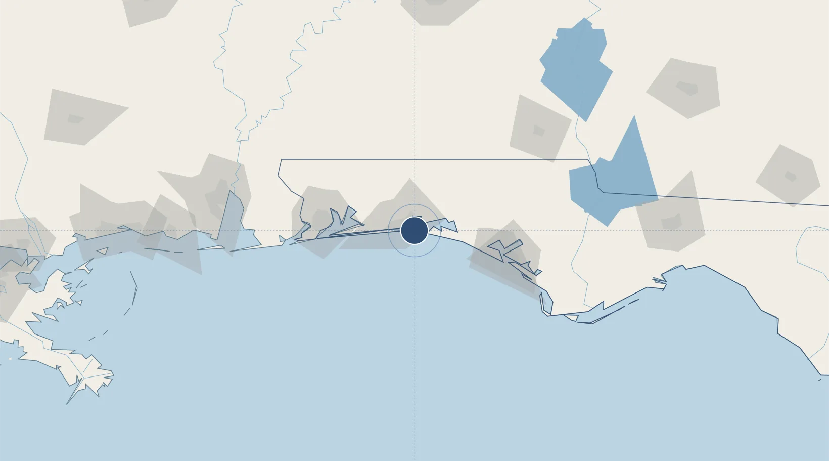
30.4001°, -86.4715°
5,001 ft
Longest runway
1
Runways
23 ft
Elevation
Runway & Layout

Radio Frequencies
ASOS
133.925 MHz
CLD
121.6 MHz
EGLIN CLNC DEL
A/D
132.1 MHz
EGLIN APP/DEP
UNIC
123.075 MHz
UNICOM
Runways · 1
| Runway | Dimensions | Surface | True heading | Lit |
|---|---|---|---|---|
| 14/32 | 5,001 × 100ft | Asphalt | 142° | ✓ |
Airport Specifications
IATA code
DSI
ICAO code
KDTS
Airport class
Medium airport
Scheduled service
Yes
Runway surface
Asphalt
Served city
Destin
Location
Nearby Logistics Neighbours
Airports
- 1Destin-Fort Walton Beach Airport10 km
- 2Hurlburt Field21 km
- 3Duke Field28 km
- 4Bob Sikes Airport42 km
- 5Whiting Field Naval Air Station South Airport63 km
Cities
- 1Eglin Air Force Base9 km
- 2Miramar Beach11 km
- 3Shalimar12 km
- 4Mary Esther17 km
- 5Santa Rosa Beach23 km
Ports
- 1Pensacola72 km
- 2Panama City84 km
- 3Port St Joe129 km
- 4Mobile161 km
- 5Apalachicola162 km
Trade Zones
- 1FTZ No. 065 Panama City73 km
- 2FTZ No. 249 Pensacola76 km
- 3FTZ No. 233 Dothan136 km
- 4FTZ No. 082 Mobile158 km
- 5FTZ No. 222 Montgomery220 km
DatabookThe Record of Consolidated Knowledge
United States beyond logistics?