UN/LOCODE hub · United States
USXAS
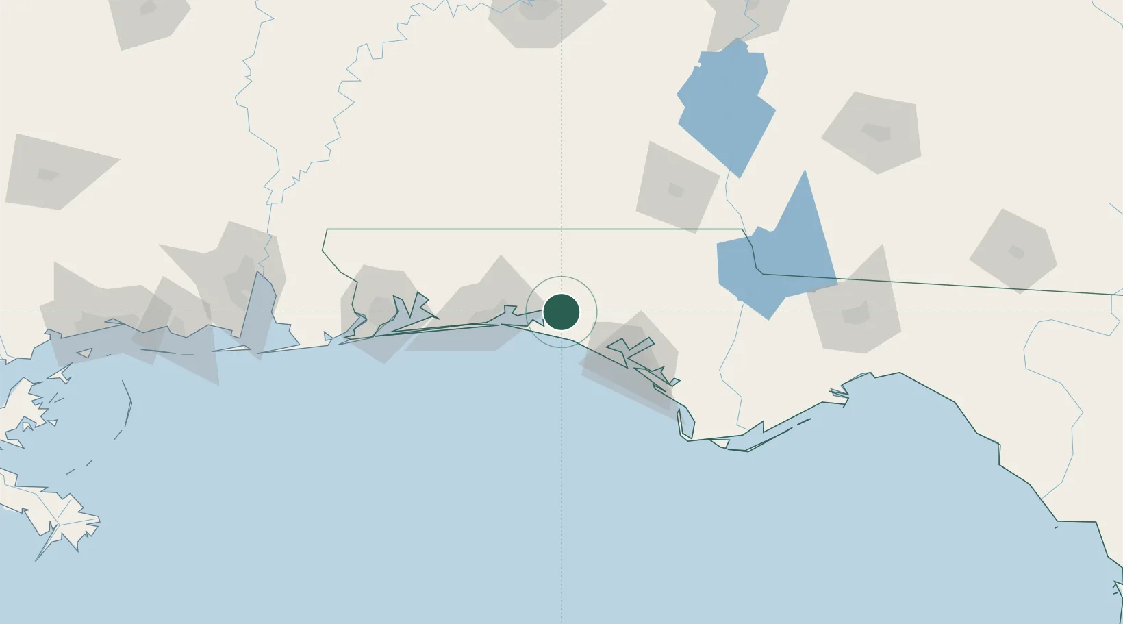
Freeport
30.4833°, -86.1333°
2,052
Population
2
Transport functions
Transport Functions
Port
Multimodal
Hub Profile
Place type
Populated place
Region
Florida
Population
2,052
Time zone
America/Chicago
Elevation
10 m
Location
Nearby Logistics Neighbours
Cities
- 1Santa Rosa Beach13 km
- 2Miramar Beach26 km
- 3De Funiak Springs26 km
- 4Ponce de Leon32 km
- 5Eglin Air Force Base40 km
Ports
- 1Panama City61 km
- 2Pensacola104 km
- 3Port St Joe108 km
- 4Apalachicola140 km
- 5Carrabelle158 km
Airports
Trade Zones
- 1FTZ No. 065 Panama City49 km
- 2FTZ No. 233 Dothan107 km
- 3FTZ No. 249 Pensacola108 km
- 4FTZ No. 082 Mobile189 km
- 5FTZ No. 222 Montgomery211 km
DatabookThe Record of Consolidated Knowledge
United States beyond logistics?