Medium airport · United States
Tyndall Air Force BaseKPAM
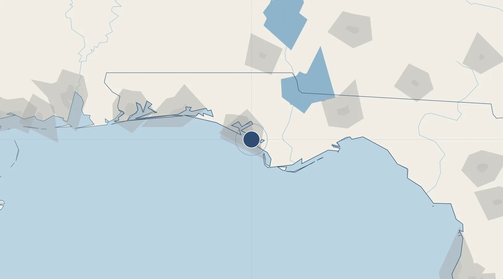
30.0696°, -85.5754°
10,107 ft
Longest runway
2
Runways
17 ft
Elevation
Runway & Layout

Radio Frequencies
ATIS
25.44 MHz
TWR
133.95 MHz
GND
121.9 MHz
CLD
118.05 MHz
CLNC DEL
A/D
119.1 MHz
APP/DEP
PMSV
29.062 MHz
PMSV METRO
POST
38.13 MHz
COMD POST
PTD
139.9 MHz
Navaids
PAM TACAN Tyndall 117.70 MHz
Runways · 2
| Runway | Dimensions | Surface | True heading | Lit |
|---|---|---|---|---|
| 14R/32L | 10,107 × 150ft | Asphalt / concrete | 134° | ✓ |
| 14L/32R | 10,008 × 200ft | Concrete | 134° | ✓ |
Airport Specifications
IATA code
PAM
ICAO code
KPAM
Airport class
Medium airport
Scheduled service
No
Runway surface
Asphalt / concrete
Served city
Panama City
Location
Nearby Logistics Neighbours
Airports
- 1Northwest Florida Beaches International Airport38 km
- 2Destin Executive Airport94 km
- 3Destin-Fort Walton Beach Airport101 km
- 4Duke Field112 km
- 5Hurlburt Field114 km
Cities
- 1Callaway9 km
- 2Panama City19 km
- 3Lynn Haven20 km
- 4Mexico Beach22 km
- 5Port Saint Joe40 km
Ports
- 1Panama City10 km
- 2Port St Joe38 km
- 3Apalachicola69 km
- 4Carrabelle91 km
- 5Pensacola162 km
Trade Zones
- 1FTZ No. 065 Panama City22 km
- 2FTZ No. 233 Dothan130 km
- 3FTZ No. 249 Pensacola167 km
- 4FTZ No. 082 Mobile251 km
- 5FTZ No. 222 Montgomery266 km
DatabookThe Record of Consolidated Knowledge
United States beyond logistics?