UN/LOCODE hub · United States
USPFN
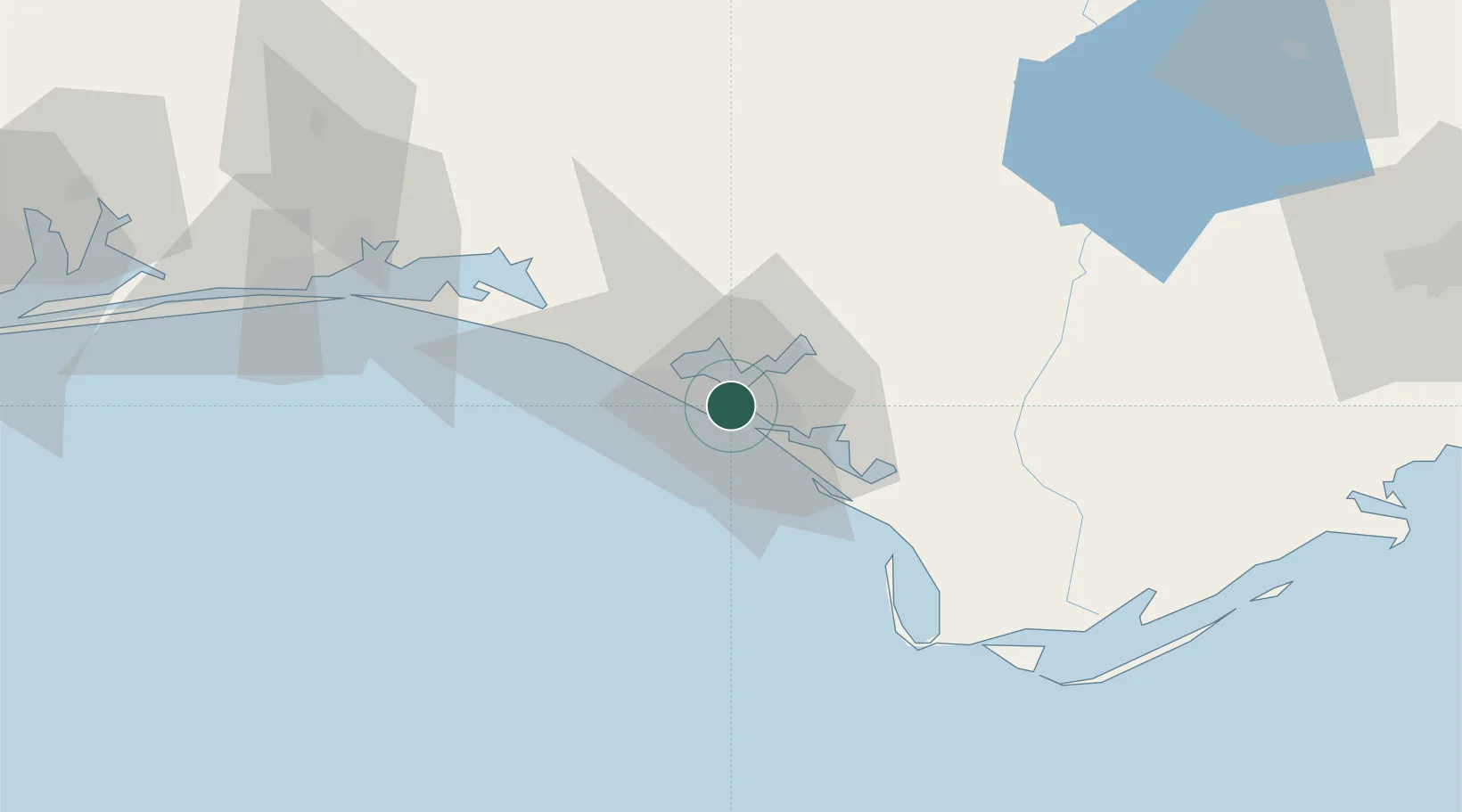
Panama City
30.1798°, -85.7298°
38,286
Population
2
Transport functions
Transport Functions
Port
Airport
Hub Profile
Place type
Provincial seat
Region
Florida
Population
38,286
Time zone
America/Chicago
Elevation
8 m
Logistics facilities
1
Location
Nearby Logistics Neighbours
Cities
- 1Lynn Haven10 km
- 2Callaway16 km
- 3Mexico Beach41 km
- 4Freeport51 km
- 5Santa Rosa Beach54 km
Ports
- 1Port St Joe57 km
- 2Apalachicola89 km
- 3Carrabelle109 km
- 4Pensacola145 km
- 5Mobile236 km
Airports
Trade Zones
- 1FTZ No. 065 Panama City3 km
- 2FTZ No. 233 Dothan120 km
- 3FTZ No. 249 Pensacola150 km
- 4FTZ No. 082 Mobile233 km
- 5FTZ No. 222 Montgomery250 km
DatabookThe Record of Consolidated Knowledge
United States beyond logistics?