UN/LOCODE hub · United States
USPSJ
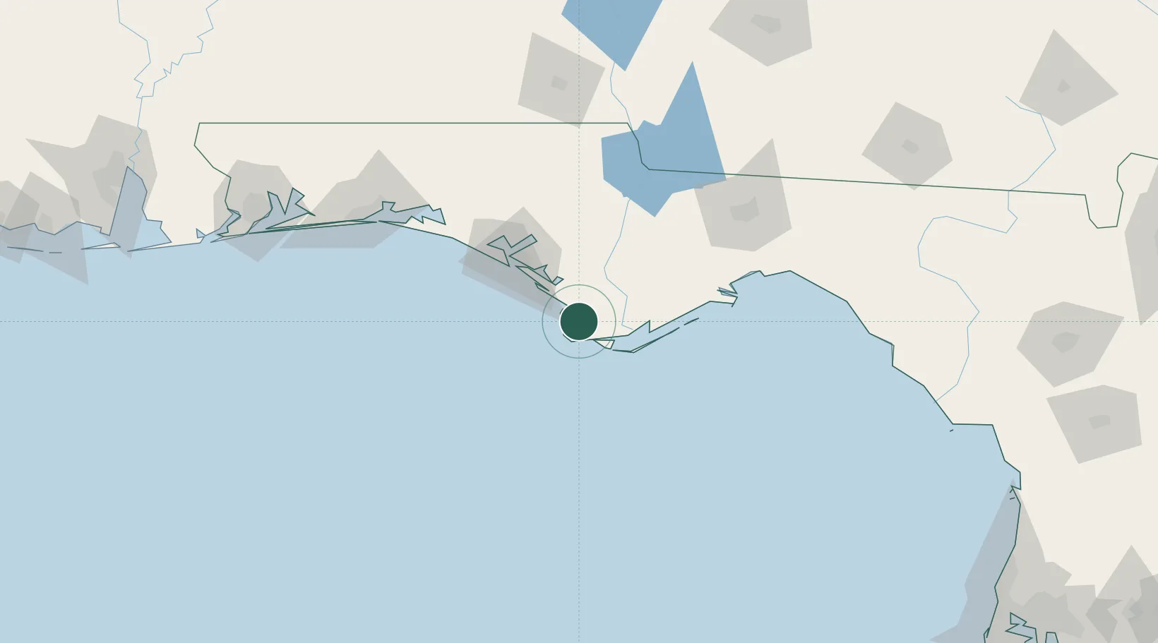
Port Saint Joe
29.8000°, -85.3000°
3,445
Population
3
Transport functions
Transport Functions
Port
Rail
Road
Hub Profile
Place type
Provincial seat
Region
Florida
Population
3,445
Time zone
America/New_York
Elevation
2 m
Location
Nearby Logistics Neighbours
Cities
- 1Mexico Beach19 km
- 2Callaway47 km
- 3Lynn Haven59 km
- 4Panama City59 km
- 5Telogia77 km
Ports
- 1Apalachicola32 km
- 2Panama City50 km
- 3Carrabelle61 km
- 4Pensacola196 km
- 5Mobile288 km
Airports
Trade Zones
- 1FTZ No. 065 Panama City62 km
- 2FTZ No. 233 Dothan159 km
- 3FTZ No. 249 Pensacola202 km
- 4FTZ No. 082 Mobile286 km
- 5FTZ No. 222 Montgomery302 km
DatabookThe Record of Consolidated Knowledge
United States beyond logistics?