UN/LOCODE hub · United States
USLYM
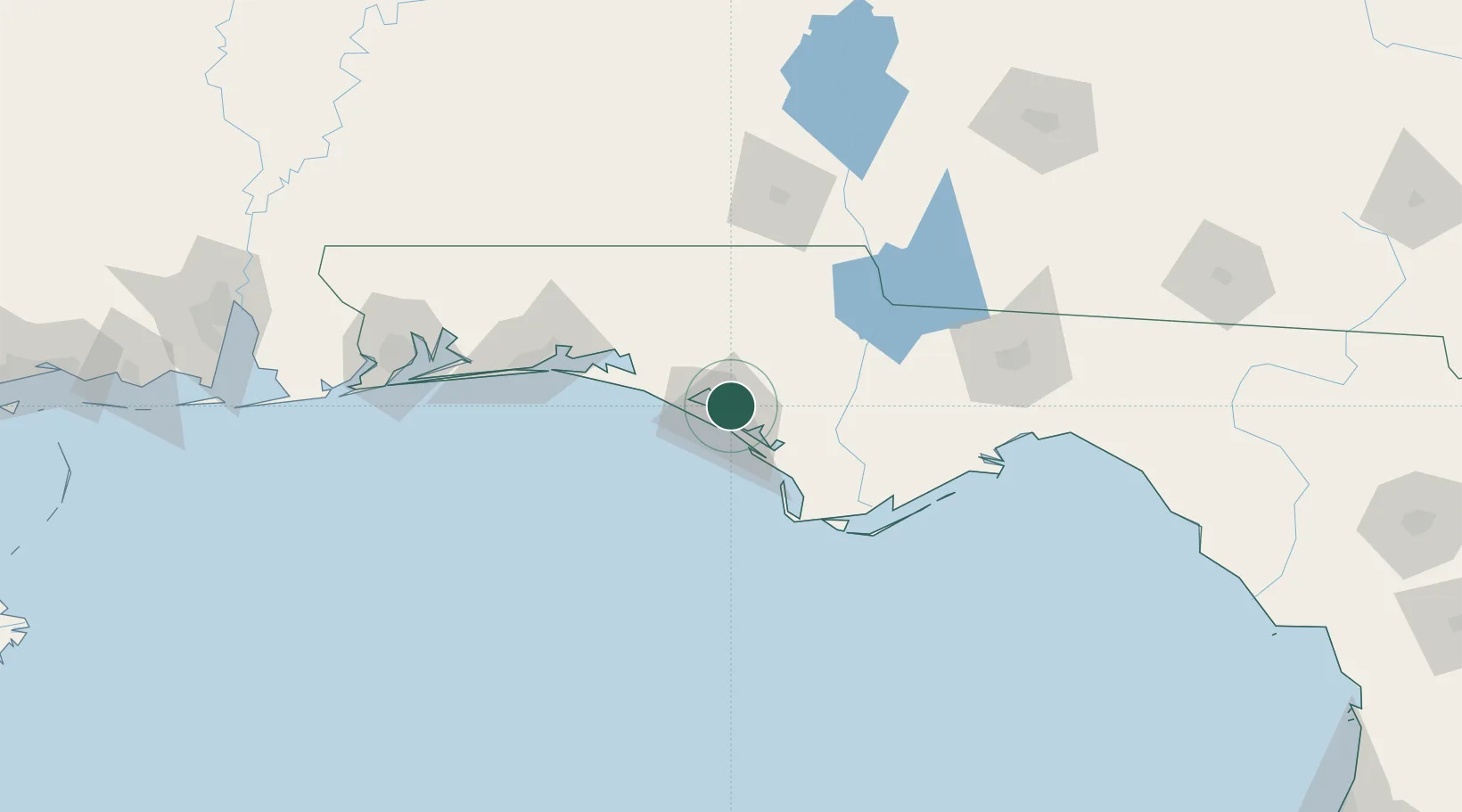
Lynn Haven
30.2333°, -85.6500°
20,156
Population
2
Transport functions
Transport Functions
Port
Road
Hub Profile
Place type
Populated place
Region
Florida
Population
20,156
Time zone
America/Chicago
Elevation
4 m
Location
Nearby Logistics Neighbours
Cities
- 1Panama City10 km
- 2Callaway12 km
- 3Mexico Beach40 km
- 4Freeport54 km
- 5Port Saint Joe59 km
Ports
- 1Panama City11 km
- 2Port St Joe56 km
- 3Apalachicola86 km
- 4Carrabelle104 km
- 5Pensacola152 km
Airports
Trade Zones
- 1FTZ No. 065 Panama City10 km
- 2FTZ No. 233 Dothan113 km
- 3FTZ No. 249 Pensacola156 km
- 4FTZ No. 082 Mobile239 km
- 5FTZ No. 222 Montgomery246 km
DatabookThe Record of Consolidated Knowledge
United States beyond logistics?