Seaport · United States

ApalachicolaUSAAF

29.7167°, -84.9833°
1.8 m
Channel depth

Channel & Berth Profile

SEA LEVEL (CD)CHANNEL BEDChannel · 1.8 mAnchorage · 1.8 m
NGA World Port Index

Pilotage, Tugs & Services

Pilotage compulsoryNO
Pilotage availableYES
Shore powerYES
Potable waterYES
Diesel bunkersYES
MedicalYES
NGA World Port Index

Facilities & Capabilities

Container
Ro-Ro
Liquid bulk
Dry bulk
Oil terminal
Break bulk
Dry dock
RepairsNO
BunkeringYES
Rail linkYES
Dangerous cargo
ISPS security
NGA World Port Index

Harbour Specifications
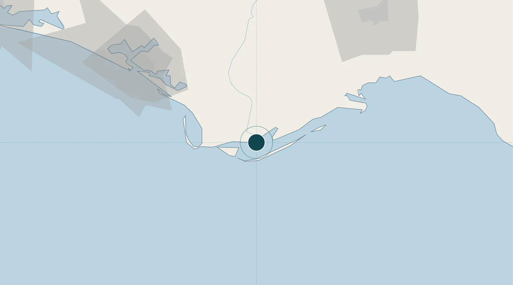
Harbour size
Very Small
NGA World Port Index
Harbour type
River (Natural)
NGA World Port Index
Water body
Gulf of Mexico; North Atlantic Ocean
NGA World Port Index
Tidal range
0.3 m
NGA World Port Index
Pilotage
No
NGA World Port Index

Location

Location of USAAF
Natural Earth 10m (public domain) · Florida · USAAF · 29.72, -84.98GoogleOSMYandex

Nearby Logistics Neighbours

Ports
  1. 1Carrabelle34 km
  2. 2Port St Joe34 km
  3. 3Panama City79 km
  4. 4Pensacola228 km
  5. 5Tarpon Springs277 km
Nearest neighbours — logibook spatial index (haversine) over the source coordinates
Cities
  1. 1Port Saint Joe32 km
  2. 2Mexico Beach48 km
  3. 3Telogia72 km
  4. 4Callaway74 km
  5. 5Lynn Haven86 km
Nearest neighbours — logibook spatial index (haversine) over the source coordinates
Airports
  1. 1Tyndall Air Force Base69 km
  2. 2Tallahassee International Airport97 km
  3. 3Northwest Florida Beaches International Airport106 km
  4. 4Destin Executive Airport162 km
  5. 5Destin-Fort Walton Beach Airport170 km
Nearest neighbours — logibook spatial index (haversine) over the source coordinates
Trade Zones
  1. 1FTZ No. 065 Panama City91 km
  2. 2FTZ No. 233 Dothan173 km
  3. 3FTZ No. 249 Pensacola234 km
  4. 4FTZ No. 193 Pinellas County278 km
  5. 5FTZ No. 064 Jacksonville299 km
Nearest neighbours — logibook spatial index (haversine) over the source coordinates
DatabookThe Record of Consolidated Knowledge
United States beyond logistics?
Browse databook

All Sources

Portsthe NGA World Port Index
Public domain (US gov)
AirportsOurAirports
Public domain
LocationsUN/LOCODE
UN/LOCODE — free
Trade Zonesthe World Bank SEZ database
CC BY 4.0
Trade ZonesOpen Zone Map
CC BY
← United States ports