Medium airport · United States
Northwest Florida Beaches International AirportKECP
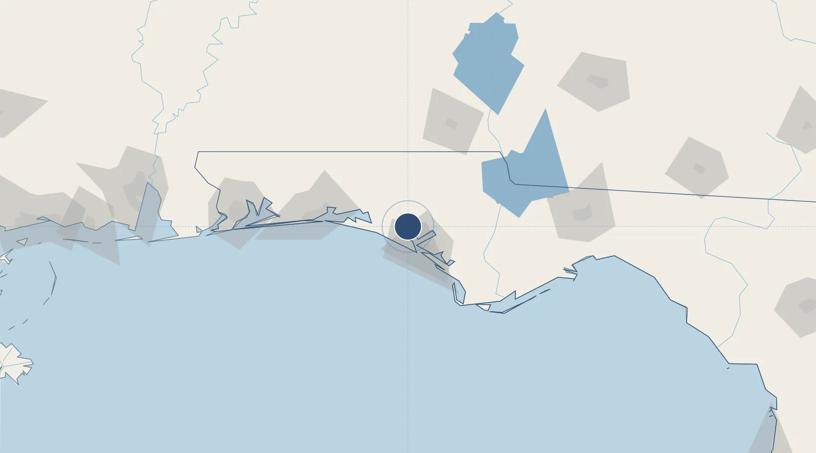
30.3571°, -85.7954°
10,000 ft
Longest runway
1
Runways
69 ft
Elevation
Runway & Layout

Radio Frequencies
ATIS
119.975 MHz
TWR
118.95 MHz
Panama City Tower
GND
121.65 MHz
Panama City Ground
CTAF
118.95 MHz
Runways · 1
| Runway | Dimensions | Surface | True heading | Lit |
|---|---|---|---|---|
| 16/34 | 10,000 × 150ft | Concrete | — | ✓ |
Airport Specifications
IATA code
ECP
ICAO code
KECP
Airport class
Medium airport
Scheduled service
Yes
Runway surface
Concrete
Served city
Panama City Beach
Location
Nearby Logistics Neighbours
Airports
- 1Tyndall Air Force Base38 km
- 2Destin Executive Airport65 km
- 3Destin-Fort Walton Beach Airport70 km
- 4Duke Field77 km
- 5Bob Sikes Airport84 km
Cities
- 1Lynn Haven20 km
- 2Panama City21 km
- 3Callaway32 km
- 4Freeport35 km
- 5Ponce de Leon42 km
Ports
- 1Panama City29 km
- 2Port St Joe76 km
- 3Apalachicola106 km
- 4Carrabelle122 km
- 5Pensacola136 km
Trade Zones
- 1FTZ No. 065 Panama City18 km
- 2FTZ No. 233 Dothan103 km
- 3FTZ No. 249 Pensacola141 km
- 4FTZ No. 082 Mobile223 km
- 5FTZ No. 222 Montgomery230 km
DatabookThe Record of Consolidated Knowledge
United States beyond logistics?