Medium airport · United States
Duke FieldKEGI
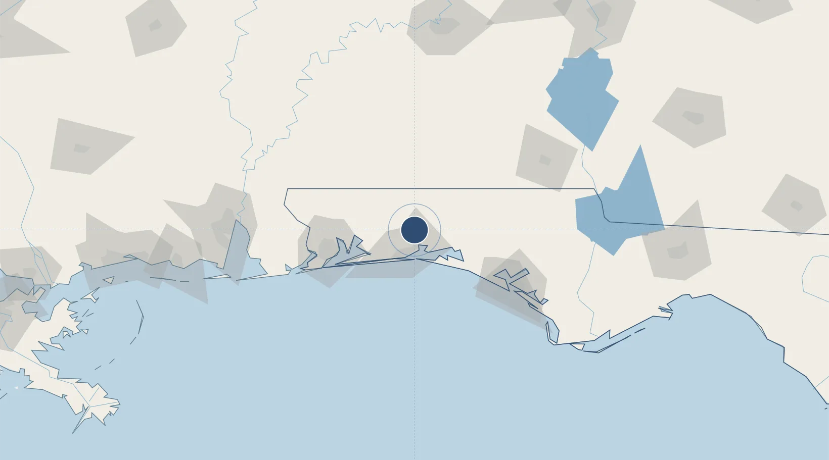
30.6504°, -86.5229°
8,025 ft
Longest runway
1
Runways
191 ft
Elevation
Runway & Layout

Radio Frequencies
TWR
133.2 MHz
GND
25.112 MHz
APP
37.915 MHz
APP
125.1 MHz
DEP
120.9 MHz
POST
150.6 MHz
COMD POST
PTD
139.3 MHz
Runways · 1
| Runway | Dimensions | Surface | True heading | Lit |
|---|---|---|---|---|
| 18/36 | 8,025 × 150ft | Asphalt | 181° | ✓ |
Airport Specifications
IATA code
EGI
ICAO code
KEGI
Airport class
Medium airport
Scheduled service
No
Runway surface
Asphalt
Served city
Crestview
Location
Nearby Logistics Neighbours
Airports
Cities
- 1Eglin Air Force Base22 km
- 2Holt23 km
- 3Shalimar23 km
- 4Mary Esther29 km
- 5Miramar Beach35 km
Ports
- 1Pensacola72 km
- 2Panama City102 km
- 3Port St Joe148 km
- 4Mobile153 km
- 5Apalachicola181 km
Trade Zones
- 1FTZ No. 249 Pensacola75 km
- 2FTZ No. 065 Panama City90 km
- 3FTZ No. 233 Dothan123 km
- 4FTZ No. 082 Mobile150 km
- 5FTZ No. 222 Montgomery193 km
DatabookThe Record of Consolidated Knowledge
United States beyond logistics?