Medium airport · United States
Destin-Fort Walton Beach AirportKVPS
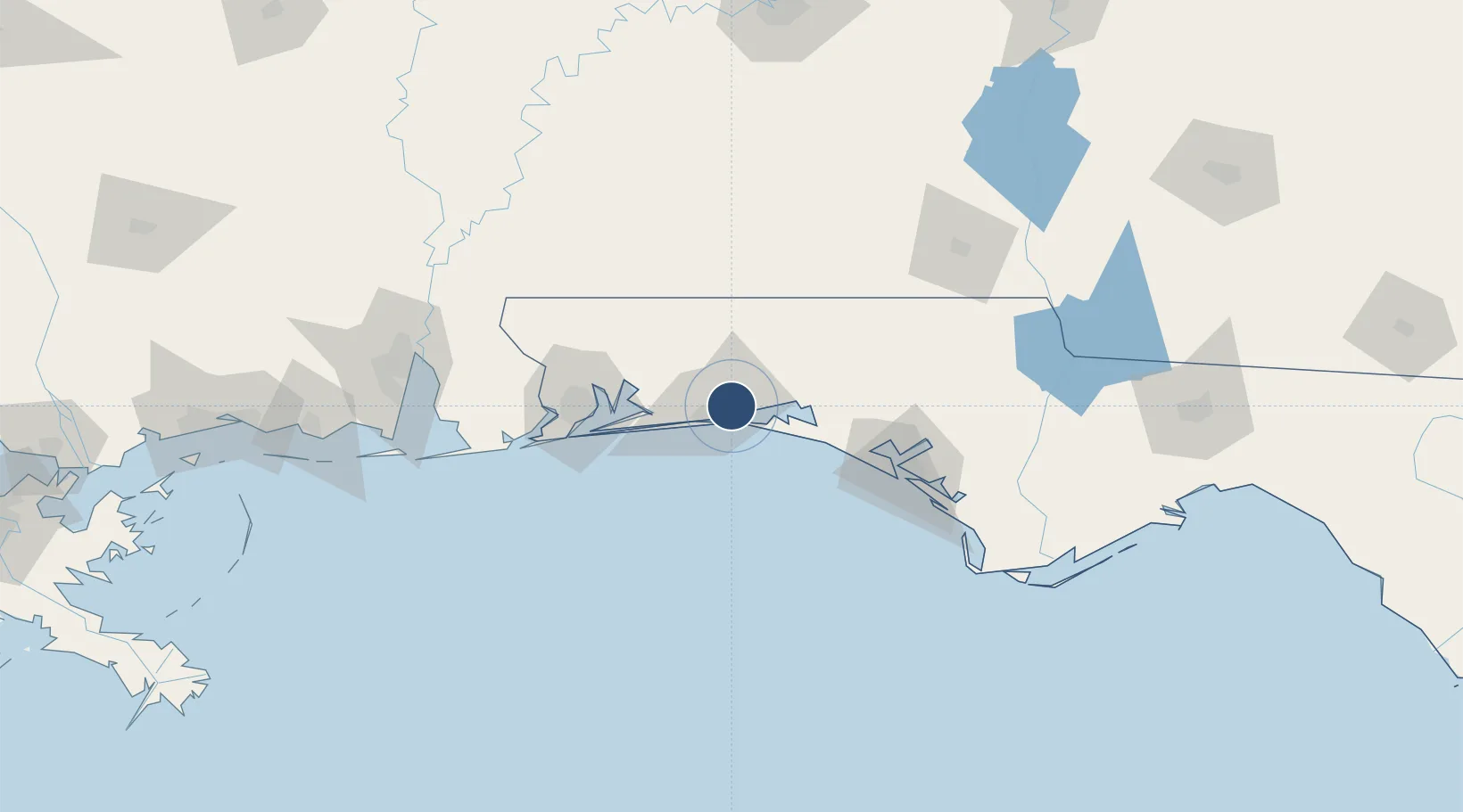
30.4813°, -86.5158°
12,004 ft
Longest runway
2
Runways
87 ft
Elevation
Runway & Layout

Radio Frequencies
ATIS
134.625 MHz
TWR
118.2 MHz
GND
121.8 MHz
CLD
127.7 MHz
CLNC DEL
A/D
125.1 MHz
APP/DEP
PMSV
34.25 MHz
PMSV METRO
POST
31.805 MHz
COMD POST
PTD
139.3 MHz
Navaids
DWG TACAN Warrington 134.50 MHz
Runways · 2
| Runway | Dimensions | Surface | True heading | Lit |
|---|---|---|---|---|
| 12/30 | 12,004 × 300ft | Asphalt | 120° | ✓ |
| 02/20 | 10,012 × 300ft | Asphalt | 012° | ✓ |
Airport Specifications
IATA code
VPS
ICAO code
KVPS
Airport class
Medium airport
Scheduled service
Yes
Runway surface
Asphalt
Served city
Valparaiso
Location
Nearby Logistics Neighbours
Airports
- 1Destin Executive Airport10 km
- 2Hurlburt Field18 km
- 3Duke Field19 km
- 4Bob Sikes Airport33 km
- 5Whiting Field Naval Air Station South Airport55 km
Cities
- 1Eglin Air Force Base5 km
- 2Shalimar7 km
- 3Mary Esther15 km
- 4Miramar Beach19 km
- 5Santa Rosa Beach29 km
Ports
- 1Pensacola68 km
- 2Panama City92 km
- 3Port St Joe137 km
- 4Mobile155 km
- 5Apalachicola170 km
Trade Zones
- 1FTZ No. 249 Pensacola72 km
- 2FTZ No. 065 Panama City80 km
- 3FTZ No. 233 Dothan133 km
- 4FTZ No. 082 Mobile153 km
- 5FTZ No. 222 Montgomery211 km
DatabookThe Record of Consolidated Knowledge
United States beyond logistics?