Channel & Berth Profile
Pilotage, Tugs & Services
Pilotage availableYES
Tug assistanceNO
Salvage tugsNO
Potable waterYES
Diesel bunkersYES
Facilities & Capabilities
Container—
Ro-Ro—
Liquid bulk—
Dry bulk—
Oil terminal—
Break bulk—
Dry dock—
Repairs—
BunkeringYES
Rail link—
Dangerous cargo—
ISPS security—
Harbour Specifications
Harbour size
Very Small
Harbour type
Coastal (Natural)
Shelter
Fair
Water body
North Atlantic Ocean
Tidal range
2.7 m
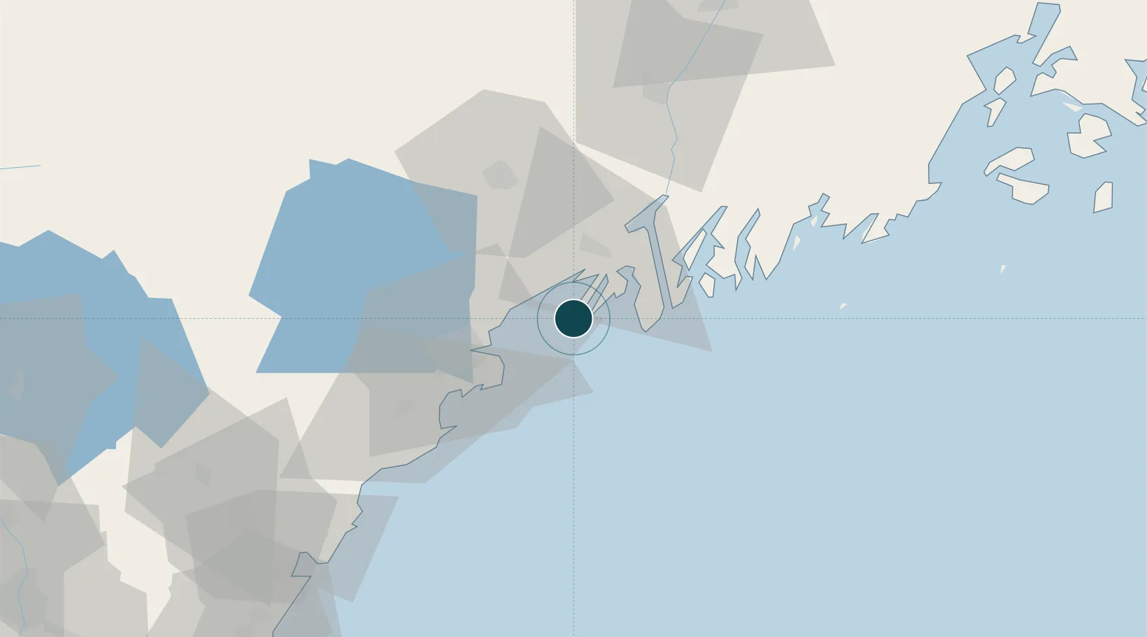
Location
Nearby Logistics Neighbours
Ports
- 1Portland20 km
- 2Bath26 km
- 3Boothbay Harbor38 km
- 4South Bristol40 km
- 5Saco44 km
Cities
- 1Freeport15 km
- 2Falmouth18 km
- 3Portland22 km
- 4Bath25 km
- 5North Falmouth26 km
Airports
Trade Zones
- 1FTZ No. 263 Auburn43 km
- 2FTZ No. 186 Waterville94 km
- 3FTZ No. 081 Portsmouth101 km
- 4FTZ No. 058 Bangor153 km
- 5FTZ No. 027 Boston181 km
DatabookThe Record of Consolidated Knowledge
United States beyond logistics?