Transport Functions
Port
Road
Hub Profile
Place type
Provincial seat
Region
Maine
Population
8,305
Time zone
America/New_York
Elevation
19 m
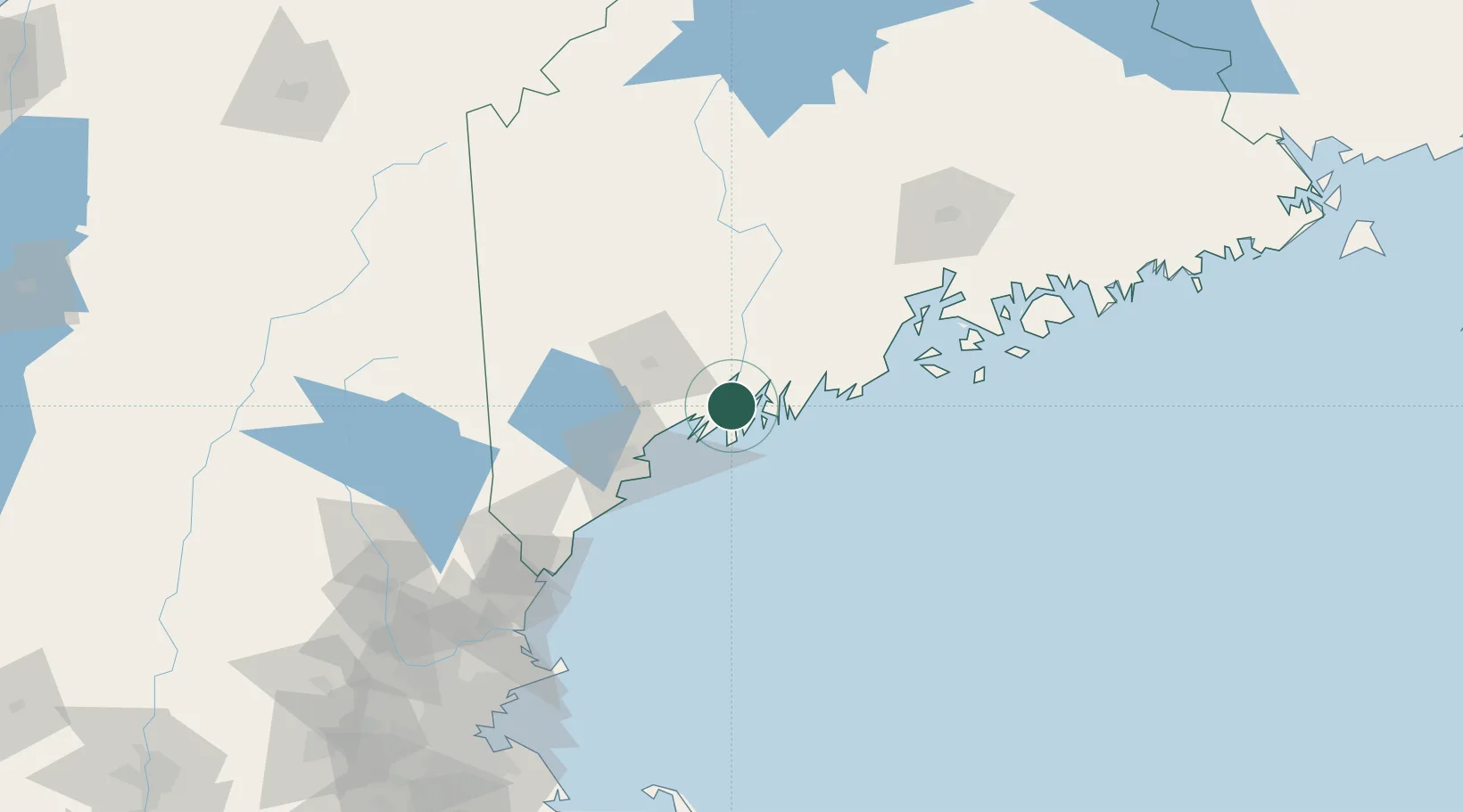
Location
Nearby Logistics Neighbours
Cities
- 1Boothbay Harbor16 km
- 2Harpswell Center17 km
- 3Dresden19 km
- 4Lisbon Falls23 km
- 5Freeport23 km
Ports
- 1Boothbay Harbor19 km
- 2South Bristol22 km
- 3South Harpswell25 km
- 4Gardiner37 km
- 5Friendship39 km
Airports
Trade Zones
- 1FTZ No. 263 Auburn38 km
- 2FTZ No. 186 Waterville72 km
- 3FTZ No. 081 Portsmouth125 km
- 4FTZ No. 058 Bangor129 km
- 5FTZ No. 027 Boston205 km
DatabookThe Record of Consolidated Knowledge
United States beyond logistics?