Seaport · United States
PortlandUSPWM
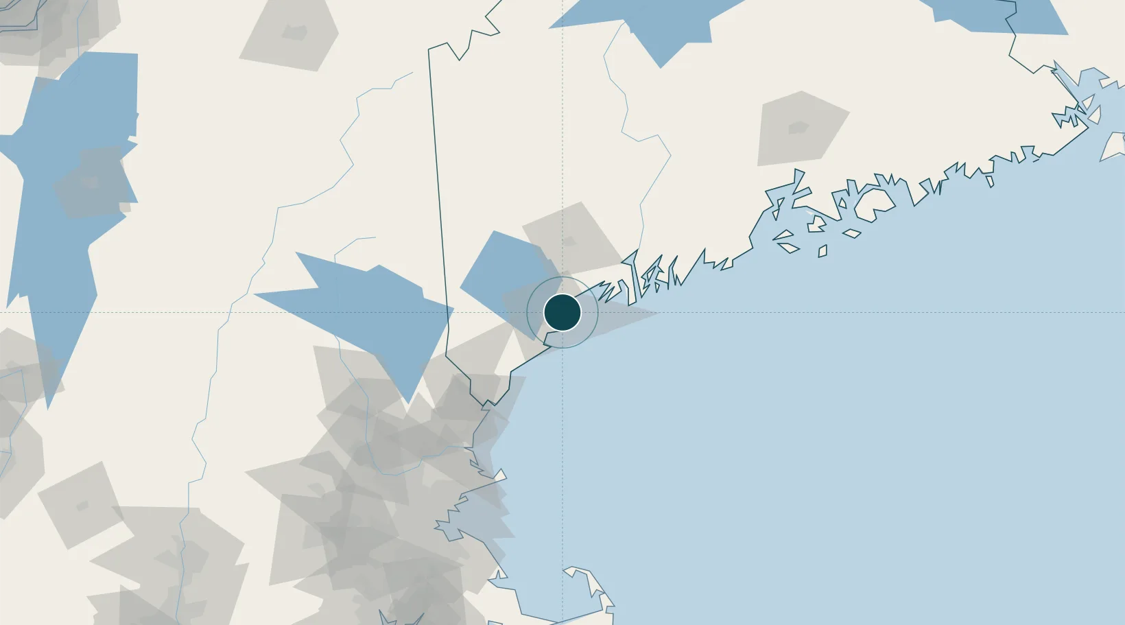
43.6667°, -70.2500°
9.4 m
Channel depth
1
Container terminals
11.7
Port liner connectivity
Channel & Berth Profile
Pilotage, Tugs & Services
Pilotage compulsoryYES
Tug assistanceYES
Salvage tugsYES
Shore powerYES
Potable waterYES
Diesel bunkersYES
MedicalYES
Garbage disposalYES
Facilities & Capabilities
Container—
Ro-Ro—
Liquid bulk—
Dry bulk—
Oil terminal—
Break bulk—
Dry dockNO
RepairsNO
BunkeringYES
Rail linkYES
Dangerous cargo—
ISPS security—
Harbour Specifications
Harbour size
Medium
Harbour type
Coastal (Natural)
Shelter
Excellent
Water body
North Atlantic Ocean
Tidal range
2.7 m
Overhead limit
Yes
Pilotage
Yes
Liner Connectivity
11.7
PLSCI
Port Liner Shipping Connectivity Index for Portland, as published by UNCTAD for the latest available quarter. Higher values indicate stronger scheduled liner-shipping integration.
Shown relative to the highest per-port PLSCI in the dataset (1,657.9).
Location
Container Terminals · 1
INTERNATIONAL MARINE TERMINAL (IMT)
IMT MAINE PORT AUTHORITY
Nearby Logistics Neighbours
Ports
- 1South Harpswell20 km
- 2Saco25 km
- 3Kennebunkport38 km
- 4Bath45 km
- 5Boothbay Harbor58 km
Cities
- 1Falmouth6 km
- 2North Falmouth13 km
- 3Old Orchard Beach20 km
- 4Saco21 km
- 5Freeport24 km
Airports
Trade Zones
- 1FTZ No. 263 Auburn48 km
- 2FTZ No. 081 Portsmouth83 km
- 3FTZ No. 186 Waterville107 km
- 4FTZ No. 027 Boston166 km
- 5FTZ No. 058 Bangor171 km
DatabookThe Record of Consolidated Knowledge
United States beyond logistics?