Large airport · United States

Portland International JetportKPWM
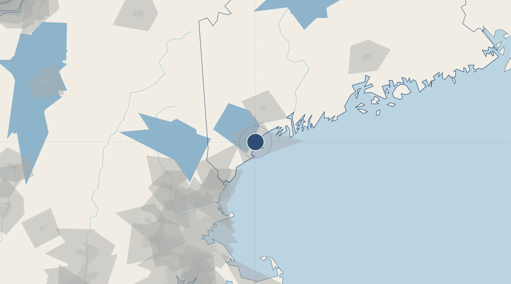
43.6462°, -70.3093°
7,200 ft
Longest runway
2
Runways
76 ft
Elevation

Runway & Layout

Portland International Jetport runway & taxiway layout
Runway & taxiway layout — OpenStreetMap (ODbL) / OurAirports

Radio Frequencies

ATIS
119.05 MHz
TWR
120.9 MHz
GND
121.9 MHz
CLD
121.9 MHz
CLNC DEL
CTAF
120.9 MHz
A/D
119.75 MHz
APP/DEP
UNIC
122.95 MHz
UNICOM
OurAirports

Navaids

PW NDB Orham 394 kHz
OurAirports

Runways · 2

RunwayDimensions SurfaceTrue headingLit
11/29 7,200 × 150ft Asphalt 095°
18/36 6,100 × 150ft Asphalt 163°
OurAirports

Airport Specifications

IATA code
PWM
OurAirports
ICAO code
KPWM
OurAirports
Airport class
Large airport
OurAirports
Scheduled service
Yes
OurAirports
Runway surface
Asphalt
OurAirports
Served city
Portland
OurAirports

Location

Location of KPWM
Natural Earth 10m (public domain) · Maine · KPWM · 43.65, -70.31GoogleOSMYandex

Nearby Logistics Neighbours

Airports
  1. 1Brunswick Executive Airport40 km
  2. 2Portsmouth International Airport at Pease76 km
  3. 3Augusta State Airport85 km
  4. 4Knox County Regional Airport107 km
  5. 5Concord Municipal Airport108 km
Nearest neighbours — logibook spatial index (haversine) over the source coordinates
Cities
  1. 1Portland4 km
  2. 2Falmouth10 km
  3. 3North Falmouth14 km
  4. 4Old Orchard Beach16 km
  5. 5Saco16 km
Nearest neighbours — logibook spatial index (haversine) over the source coordinates
Ports
  1. 1Portland5 km
  2. 2Saco20 km
  3. 3South Harpswell25 km
  4. 4Kennebunkport34 km
  5. 5Bath50 km
Nearest neighbours — logibook spatial index (haversine) over the source coordinates
Trade Zones
  1. 1FTZ No. 263 Auburn51 km
  2. 2FTZ No. 081 Portsmouth79 km
  3. 3FTZ No. 186 Waterville111 km
  4. 4FTZ No. 027 Boston162 km
  5. 5FTZ No. 058 Bangor176 km
Nearest neighbours — logibook spatial index (haversine) over the source coordinates
DatabookThe Record of Consolidated Knowledge
United States beyond logistics?
Browse databook

All Sources

AirportsOurAirports
Public domain
Portsthe NGA World Port Index
Public domain (US gov)
LocationsUN/LOCODE
UN/LOCODE — free
Trade Zonesthe World Bank SEZ database
CC BY 4.0
Trade ZonesOpen Zone Map
CC BY
InfrastructureOpenStreetMap
ODbL 1.0
← United States airports