Medium airport · United States
Augusta State AirportKAUG
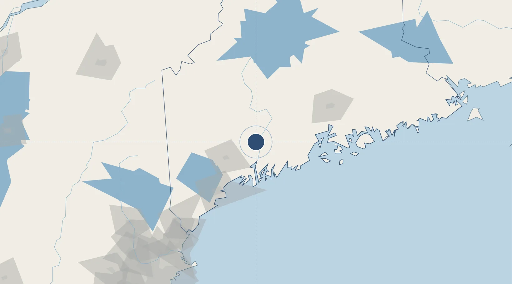
44.3206°, -69.7973°
5,002 ft
Longest runway
2
Runways
352 ft
Elevation
Runway & Layout

Radio Frequencies
ASOS
118.325 MHz
CLD
119.95 MHz
CLNC DEL
A/D
128.35 MHz
PORTLAND APP/DEP
RDO
122.6 MHz
BANGOR RDO
UNIC
123 MHz
CTAF/UNICOM
Runways · 2
| Runway | Dimensions | Surface | True heading | Lit |
|---|---|---|---|---|
| 17/35 | 5,002 × 100ft | Asphalt | 153° | ✓ |
| 08/26 | 2,613 × 75ft | Asphalt | 062° | ✓ |
Airport Specifications
IATA code
AUG
ICAO code
KAUG
Airport class
Medium airport
Scheduled service
Yes
Runway surface
Asphalt
Served city
Augusta
Location
Nearby Logistics Neighbours
Airports
- 1Brunswick Executive Airport49 km
- 2Knox County Regional Airport63 km
- 3Islesboro Airport71 km
- 4Witherspoons Airport76 km
- 5Vinalhaven Airport83 km
Cities
- 1Vassalboro17 km
- 2North Monmouth19 km
- 3Windsor19 km
- 4North Vassalboro23 km
- 5Dresden29 km
Ports
- 1Augusta3 km
- 2Gardiner10 km
- 3Bath45 km
- 4Boothbay Harbor53 km
- 5Friendship54 km
Trade Zones
- 1FTZ No. 186 Waterville26 km
- 2FTZ No. 263 Auburn41 km
- 3FTZ No. 058 Bangor95 km
- 4FTZ No. 081 Portsmouth164 km
- 5FTZ No. 027 Boston247 km
DatabookThe Record of Consolidated Knowledge
United States beyond logistics?