Foreign Trade Zone · United States

FTZ No. 058 Bangor Active
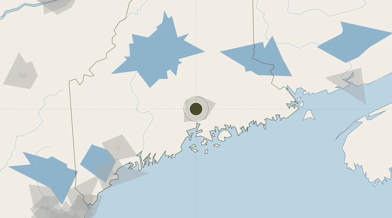
44.8082°, -68.8165°
4.0 km
Nearest port
0.8 km
Nearest airport

Gateway access

Nearest neighbours — logibook spatial index (haversine) over the source coordinates

Zone profile

Zone type
Foreign Trade Zone
Open Zone Map
Region
Maine
Open Zone Map
Status
Active
Open Zone Map
Management
Public
Open Zone Map
Operator
City of Bangor
Open Zone Map
Legal framework
Foreign-Trade Zones Act
Open Zone Map

Location

Location of ozm-4755
Natural Earth 10m (public domain) · Maine · ozm-4755 · 44.81, -68.82GoogleOSMYandex

Nearby Logistics Neighbours

Ports
  1. 1Bangor4 km
  2. 2Winterport20 km
  3. 3Bucksport27 km
  4. 4Sandypoint32 km
  5. 5Searsport41 km
Nearest neighbours — logibook spatial index (haversine) over the source coordinates
Airports
  1. 1Bangor International Airport1 km
  2. 2Hancock County-Bar Harbor Airport54 km
  3. 3Islesboro Airport57 km
  4. 4Witherspoons Airport73 km
  5. 5Vinalhaven Airport82 km
Nearest neighbours — logibook spatial index (haversine) over the source coordinates
Cities
  1. 1Hermon5 km
  2. 2Eddington11 km
  3. 3Corinth24 km
  4. 4Newport37 km
  5. 5Waldo40 km
Nearest neighbours — logibook spatial index (haversine) over the source coordinates
Trade Zones
  1. 1FTZ No. 186 Waterville76 km
  2. 2FTZ No. 263 Auburn136 km
  3. 3Saint John222 km
  4. 4FTZ No. 081 Portsmouth254 km
  5. 5FTZ No. 179 Madawaska277 km
Nearest neighbours — logibook spatial index (haversine) over the source coordinates
DatabookThe Record of Consolidated Knowledge
United States beyond logistics?
Browse databook

All Sources

Trade ZonesOpen Zone Map
CC BY
Portsthe NGA World Port Index
Public domain (US gov)
AirportsOurAirports
Public domain
LocationsUN/LOCODE
UN/LOCODE — free
← United States trade zones